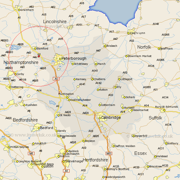
Cambridgeshire Map Showing Location of Wittering
Population: 2294
Area Size (ha): 506
Easting: 504966 Northing: 301413
Latitude: 52.6 Longitude: -0.45
 = Wittering
Area Size (ha): 506
Easting: 504966 Northing: 301413
Latitude: 52.6 Longitude: -0.45
= Wittering
This Wittering map below is supplied by Google. Use the tools in the top left corner to zoom into street level or zoom out for a road map, you may also need to zoom in to see Wittering on the map. Click and drag the map to move around. If the map fails to load try and refresh your browser or zoom in or out (+ or -).
Update - it seems Google no longer allow people to use their maps for free! This Wittering map sometimes loads and sometimes gives a error. I am working on a solution.
Closest 30 Towns or Cities to Wittering (Population over 500)
Barnack 3.85km Helpston 8.09km Helpstone 8.09km Elton 8.68km Castor 8.71km Orton Waterville 11.56km Glinton 11.85km Northborough 12.55km Peterborough 13.64km Petersborough 13.64km Peterbrough 13.64km Newborough 15.86km Farcet 16.42km Folksworth 16.47km Stilton 17.19km Yaxley 17.51km Eye 18.01km Holme 20.84km Whittlesey 22.11km Sawtry 22.3km Thorney 23.71km Ramsey 28.05km Alconbury 28.76km Spaldwick 30.69km Bury 31.25km Wistow 32.49km Ellington 33.46km Kimbolton 33.66km Warboys 34.17km Huntingdon 34.72km