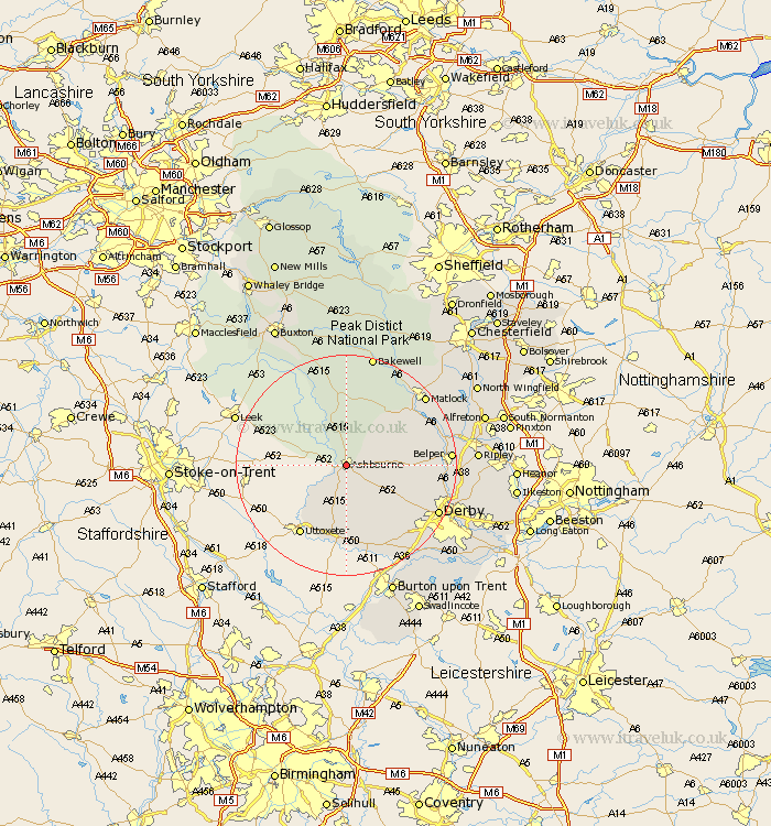
Derbyshire Map Showing Location of Ashbourne
Population: 6333
Area Size (ha): 218
District: Derbyshire Dales
Easting: 417887 Northing: 346667
Latitude: 53.02 Longitude: -1.73
 = Ashbourne
Area Size (ha): 218
District: Derbyshire Dales
Easting: 417887 Northing: 346667
Latitude: 53.02 Longitude: -1.73
= Ashbourne
This Ashbourne map below is supplied by Google. Use the tools in the top left corner to zoom into street level or zoom out for a road map, you may also need to zoom in to see Ashbourne on the map. Click and drag the map to move around. If the map fails to load try and refresh your browser or zoom in or out (+ or -).
Update - it seems Google no longer allow people to use their maps for free! This Ashbourne map sometimes loads and sometimes gives a error. I am working on a solution.
Closest 30 Towns or Cities to Ashbourne (Population over 500)
Clifton 2.17km Brassington 9.27km Brailsford 10.77km Wirksworth 13.38km Winster 14.11km Doveridge 14.13km Cromford 14.49km Kirk Langley 14.51km Bonsall 14.97km Church Broughton 15km Matlock Bath 15.89km Middleton 16.72km Sudbury 16.72km Youlgreave 16.83km Ambergate 17.12km Ambergate Junction Station 17.12km Quarndon 17.29km Duffield 17.63km Belper 17.93km Holbrook 17.94km Derby 18.17km Crich 18.28km Burnaston 18.56km Scropton 18.57km Matlock 18.62km Darley Dale 18.91km Etwall 18.92km Heage 19.04km Tansley 19.43km Kilburn 20.16km