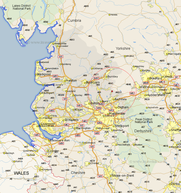
Lancashire Map Showing Location of Shawforth
District: Rossendale
Easting: 388993 Northing: 420798
Latitude: 53.68 Longitude: -2.17
 = Shawforth
Easting: 388993 Northing: 420798
Latitude: 53.68 Longitude: -2.17
= Shawforth
This Shawforth map below is supplied by Google. Use the tools in the top left corner to zoom into street level or zoom out for a road map, you may also need to zoom in to see Shawforth on the map. Click and drag the map to move around. If the map fails to load try and refresh your browser or zoom in or out (+ or -).
Update - it seems Google no longer allow people to use their maps for free! This Shawforth map sometimes loads and sometimes gives a error. I am working on a solution.
Closest 30 Towns or Cities to Shawforth (Population over 500)
Bacup 2.16km Whitworth 3.86km Wardle 4.3km Littleborough 7.09km Rochdale 7.49km Rawtenstall 7.9km Edenfield 8.97km Milnrow 10.25km Haslingden 11.13km Ramsbottom 11.34km Heywood 11.59km Bury 12.77km Royton 13.38km Burnley 13.7km Shaw 14.08km Tottington 14.37km Hapton 14.87km Padiham 14.87km Middleton 14.98km Oldham 15.18km Accrington 15.21km Brierfield 15.47km Altham 15.62km Church 16.07km Uppermill 16.22km Delph 16.31km Oswaldtwistle 16.33km Turton 16.35km Simonstone 16.4km Nelson 16.82km