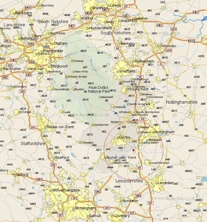
Derbyshire Map Showing Location of Shardlow
Population: 1028
District: South Derbyshire
Easting: 443768 Northing: 328289
Latitude: 52.85 Longitude: -1.35
 = Shardlow
District: South Derbyshire
Easting: 443768 Northing: 328289
Latitude: 52.85 Longitude: -1.35
= Shardlow
This Shardlow map below is supplied by Google. Use the tools in the top left corner to zoom into street level or zoom out for a road map, you may also need to zoom in to see Shardlow on the map. Click and drag the map to move around. If the map fails to load try and refresh your browser or zoom in or out (+ or -).
Update - it seems Google no longer allow people to use their maps for free! This Shardlow map sometimes loads and sometimes gives a error. I am working on a solution.
Closest 30 Towns or Cities to Shardlow (Population over 500)
Shardlow 0km Sawley 3.84km Weston-on-Trent 3.84km Weston on Trent 3.84km Weston upon Trent 3.84km Borrowash 5.99km Melbourne 6.71km Risley 7.75km Long Eaton 7.89km Sandiacre 8.66km Dale Abbey 9.26km Ticknall 10.54km West Hallam 11.12km Breadsall 11.44km Findern 12.31km Little Eaton 12.99km Ilkeston 13.4km Willington 13.56km Repton 13.56km Derby 13.68km Hartshorne 14.54km Hartshorn 14.54km Smalley 14.99km Quarndon 15km Burnaston 15.01km Duffield 15.76km Woodville 15.79km Newton Solney 16.11km Swadlincote 16.32km Shipley Gate Station 16.83km