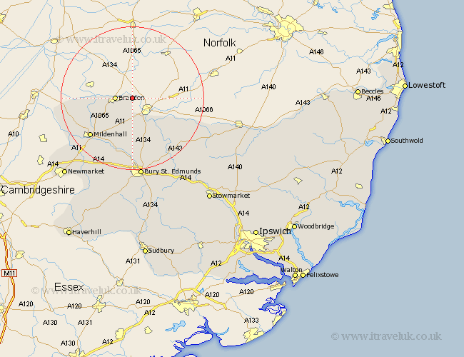
Suffolk Map Showing Location of Santon
Population: 245
District: Forest Heath
Easting: 582324 Northing: 286987
Latitude: 52.45 Longitude: 0.68
 = Santon
District: Forest Heath
Easting: 582324 Northing: 286987
Latitude: 52.45 Longitude: 0.68
= Santon
This Santon map below is supplied by Google. Use the tools in the top left corner to zoom into street level or zoom out for a road map, you may also need to zoom in to see Santon on the map. Click and drag the map to move around. If the map fails to load try and refresh your browser or zoom in or out (+ or -).
Update - it seems Google no longer allow people to use their maps for free! This Santon map sometimes loads and sometimes gives a error. I am working on a solution.
Closest 30 Towns or Cities to Santon (Population over 500)
Brandon 4.52km Lake Heath 8.12km Lakenheath 8.12km Barnham 9.86km Eriswell 13.76km Honington 15.2km Mildenhall 15.86km Troston 16.3km Barningham 18.43km Bardwell 18.65km Hopton 19.32km Ixworth 19.54km Fornham All Saints 20.41km Hepworth 20.47km Risby 20.66km Stanton 20.88km Great Barton 21.15km Bury St. Edmunds 22.35km Bury Saint Edmunds 22.35km Bury St Edmunds 22.35km Pakenham 22.79km Redgrave 23.39km Thurston 24.01km Badwell Ash 24.38km Gazeley 24.95km Barrow 25.04km Norton 25.49km Moulton 26.06km Botesdale 26.08km Rushbrooke 26.55km