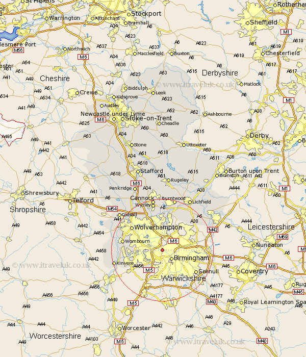
Staffordshire Map Showing Location of Sandwell
District: Sandwell
Easting: 402262 Northing: 289163
Latitude: 52.5 Longitude: -1.97
 = Sandwell
Easting: 402262 Northing: 289163
Latitude: 52.5 Longitude: -1.97
= Sandwell
This Sandwell map below is supplied by Google. Use the tools in the top left corner to zoom into street level or zoom out for a road map, you may also need to zoom in to see Sandwell on the map. Click and drag the map to move around. If the map fails to load try and refresh your browser or zoom in or out (+ or -).
Update - it seems Google no longer allow people to use their maps for free! This Sandwell map sometimes loads and sometimes gives a error. I am working on a solution.
Closest 30 Towns or Cities to Sandwell (Population over 500)
Smethwick 2.26km West Bromwich 2.92km Dudley 7.9km Bilston 10.04km Rushall 11.18km Walsall 11.35km Wallsall 11.35km Aldridge 11.62km Himley 12.55km Pelsall 13.02km Wolverhampton 14.59km Brownhills 14.99km Wombourne 15.12km Wombourn 15.12km Shenstone 17.35km Lower Penn 17.44km Hammerwich 17.6km Kinvere 18.9km Great Wyrley 19.13km Wyrley 19.13km Shareshill 20.14km Drayton Bassett 20.23km Norton Canes 20.38km Seisdon 20.55km Scisdon 20.55km Cannock 20.66km Burntwood 20.87km Bobbington 21.51km Codsall 21.64km Fazeley 22.21km