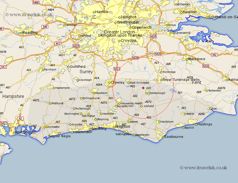
Sussex Map Showing Location of Hartfield
Population: 2105
District: Wealden
Easting: 548238 Northing: 133747
Latitude: 51.08 Longitude: 0.12
 = Hartfield
District: Wealden
Easting: 548238 Northing: 133747
Latitude: 51.08 Longitude: 0.12
= Hartfield
This Hartfield map below is supplied by Google. Use the tools in the top left corner to zoom into street level or zoom out for a road map, you may also need to zoom in to see Hartfield on the map. Click and drag the map to move around. If the map fails to load try and refresh your browser or zoom in or out (+ or -).
Update - it seems Google no longer allow people to use their maps for free! This Hartfield map sometimes loads and sometimes gives a error. I am working on a solution.
Closest 30 Towns or Cities to Hartfield (Population over 500)
Hartfield 0km Withyham 1.16km Crowborough 4.38km Rotherfield 8.93km East Grinstead 10.02km Frant 10.48km Forest Row 10.48km Buxted 11.18km Maresfield 11.37km Horsted Keynes 11.91km Hadlow Down 12.06km Fletching 12.56km Uckfield 13.02km Mayfield 13.14km Turners Hill 13.97km Newick 14.74km Framfield 14.87km Ardingly 15.04km Wadhurst 15.59km Lindfield 15.82km Chailey 16.39km Balcombe 16.72km Isfield 17.05km Worth 17.56km Heathfield 18.16km Haywards Heath 18.8km Baywards Heath 18.8km East Hoathly 18.86km Cuckfield 18.98km South Nutfield 18.98km