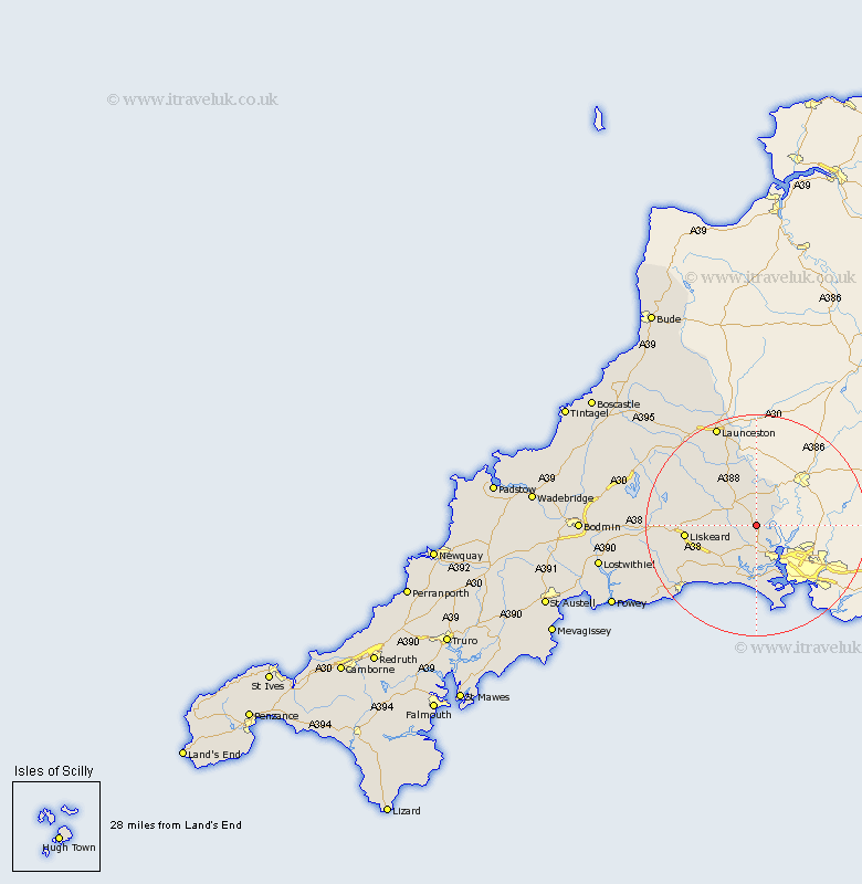
Cornwall Map Showing Location of St Mellion
District: Caradon
Easting: 239155 Northing: 65507
Latitude: 50.47 Longitude: -4.27
 = St Mellion
Easting: 239155 Northing: 65507
Latitude: 50.47 Longitude: -4.27
= St Mellion
This St Mellion map below is supplied by Google. Use the tools in the top left corner to zoom into street level or zoom out for a road map, you may also need to zoom in to see St Mellion on the map. Click and drag the map to move around. If the map fails to load try and refresh your browser or zoom in or out (+ or -).
Update - it seems Google no longer allow people to use their maps for free! This St Mellion map sometimes loads and sometimes gives a error. I am working on a solution.
Closest 30 Towns or Cities to St Mellion (Population over 500)
Callington 4.39km Bere Alston 5.07km Calstock 5.07km Saltash 6.59km Linkinhorne 10.24km Sherviock 11.18km Sheviock 11.18km Menheniot 11.25km Torpoint 12.08km Millbrook 12.59km Liskeard 13.11km Lezant 14.24km North Hill 14.99km Morval 15.96km Dobwalls 17.79km Duloe 17.93km Looe 17.97km West Looe 17.97km South Petherwin 18.6km Lewannick 18.93km Launceston 19.83km Pelynt 21.92km Lanreath 23.19km Altarnun 23.98km Lansallos 23.99km North Petherwin 26.81km Cardinham 27.19km Cardingham 27.19km Lanteglos 28.9km Lostwithiel 29.29km