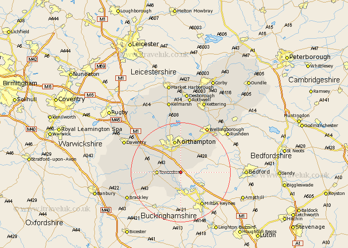
Northamptonshire Map Showing Location of Hartwell
Population: 1762
Area Size (ha): 45
District: South Northamptonshire
Easting: 478704 Northing: 249002
Latitude: 52.13 Longitude: -0.85
 = Hartwell
Area Size (ha): 45
District: South Northamptonshire
Easting: 478704 Northing: 249002
Latitude: 52.13 Longitude: -0.85
= Hartwell
This Hartwell map below is supplied by Google. Use the tools in the top left corner to zoom into street level or zoom out for a road map, you may also need to zoom in to see Hartwell on the map. Click and drag the map to move around. If the map fails to load try and refresh your browser or zoom in or out (+ or -).
Update - it seems Google no longer allow people to use their maps for free! This Hartwell map sometimes loads and sometimes gives a error. I am working on a solution.
Closest 30 Towns or Cities to Hartwell (Population over 500)
Roade 2.94km Hackleton 6.01km Wootton 6.01km Collingtree 6.52km Blisworth 6.79km Milton 7.18km Potterspury 7.75km Hardingstone 7.76km Paulerspury 7.96km Gayton 8.78km Towcester 9.1km Denshanger 9.26km Deanshanger 9.26km Houghton 9.34km Great Houghton 9.34km Denton 9.34km Whittlebury 10.67km Yardley Hastings 10.88km Pattishall 11.96km Kislingbury 12.22km Silverstone 12.67km Whiston 13.04km Northampton 13.17km Billing 13.17km Great Billing 13.17km Bugbrooke 13.57km Harpole 14.36km Earls Barton 14.66km Bozeat 15.57km Moulton 16.68km