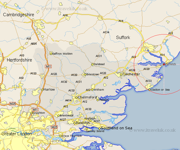
Essex Map Showing Location of Harwich
Population: 18078
Area Size (ha): 539
District: Tendring
Easting: 626747 Northing: 233137
Latitude: 51.95 Longitude: 1.3
 = Harwich
Area Size (ha): 539
District: Tendring
Easting: 626747 Northing: 233137
Latitude: 51.95 Longitude: 1.3
= Harwich
This Harwich map below is supplied by Google. Use the tools in the top left corner to zoom into street level or zoom out for a road map, you may also need to zoom in to see Harwich on the map. Click and drag the map to move around. If the map fails to load try and refresh your browser or zoom in or out (+ or -).
Update - it seems Google no longer allow people to use their maps for free! This Harwich map sometimes loads and sometimes gives a error. I am working on a solution.
Closest 30 Towns or Cities to Harwich (Population over 500)
Harwich 0km Harwick 0km Parkeston 3.9km Little Oakley 5.88km Great Oakley 8.83km Walton on the Naze 11.18km Walton-on-the-Naze 11.18km Wix 11.69km Bradfield 12.7km Frinton 13.42km Frinton on Sea 13.42km Frinton-on-Sea 13.42km Thorpe le Soken 14.4km Mistley 14.97km Weeley 16.79km Lawford 18.37km Little Clacton 18.72km Great Bentley 19.49km Great Bromley 19.74km Clacton-on-Sea 20.67km Clacton on Sea 20.67km Clacton 20.67km Thorrington 21.41km Dedham 21.7km Ardleigh 22.02km St Osyth 22.35km Saint Osyth 22.35km St. Osyth 22.35km Alresford 24.41km Brightlingsea 24.77km