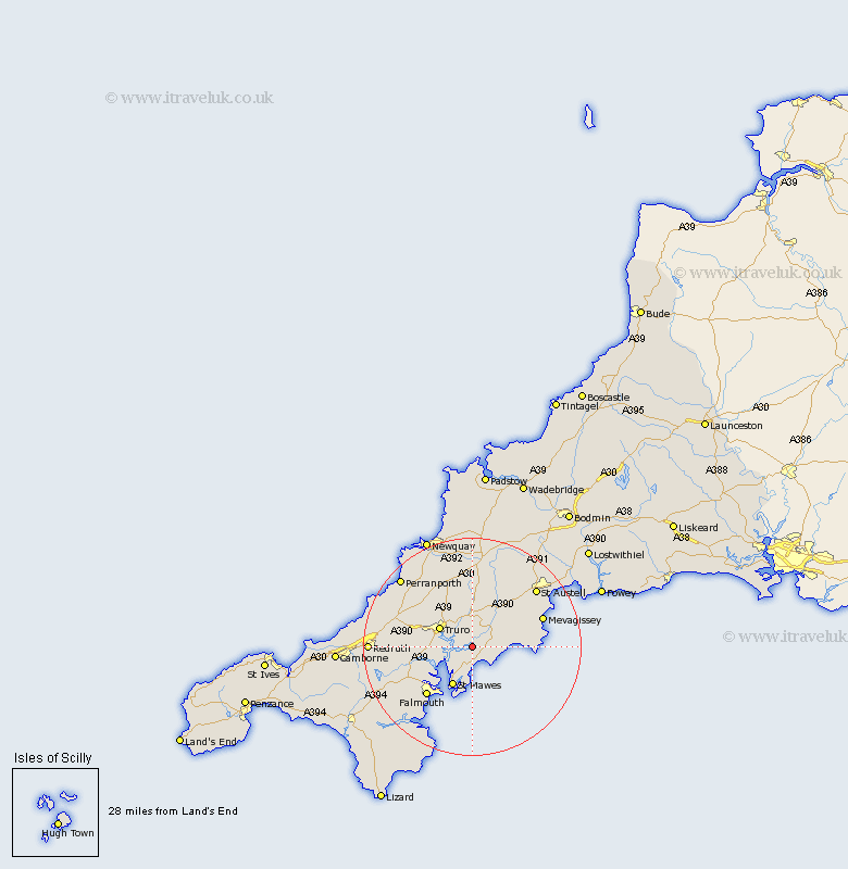
Cornwall Map Showing Location of Ruan Lanihorne
District: Carrick
Easting: 188455 Northing: 41314
Latitude: 50.23 Longitude: -4.97
 = Ruan Lanihorne
Easting: 188455 Northing: 41314
Latitude: 50.23 Longitude: -4.97
= Ruan Lanihorne
This Ruan Lanihorne map below is supplied by Google. Use the tools in the top left corner to zoom into street level or zoom out for a road map, you may also need to zoom in to see Ruan Lanihorne on the map. Click and drag the map to move around. If the map fails to load try and refresh your browser or zoom in or out (+ or -).
Update - it seems Google no longer allow people to use their maps for free! This Ruan Lanihorne map sometimes loads and sometimes gives a error. I am working on a solution.
Closest 30 Towns or Cities to Ruan Lanihorne (Population over 500)
Veryan 4.01km Tregoney 5.14km Probus 5.68km Kea 5.93km Saint Feoch 6.99km St. Feock 6.99km St Feock 6.99km Saint Feock 6.99km St. Feoch 6.99km Feock 6.99km St Feoch 6.99km Truro 6.99km Creed 7.31km Gerrans 7.5km Kenwyn 8.02km Ladock 9.35km Mylor Bridge 9.49km Mylor 9.49km Saint Ewe 10.18km St. Ewe 10.18km St Ewe 10.18km Penryn 12.04km St Stephen 12.09km St. Stephen 12.09km Saint Stephen 12.09km Falmouth 12.44km Budock Water 14.14km Budock 14.14km Mevegissey 14.17km Mevagissey 14.17km