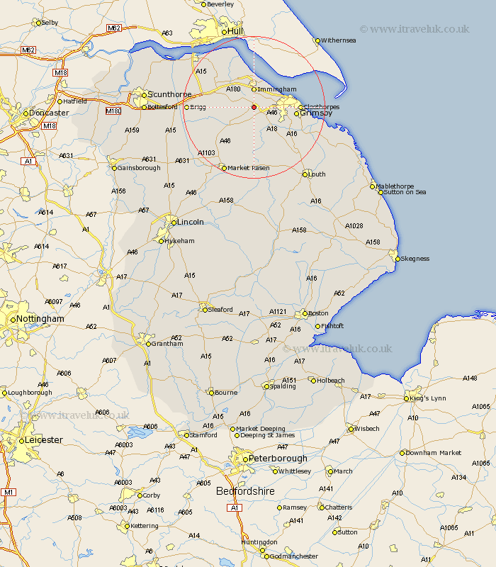
Lincolnshire Map Showing Location of Riby
Population: 134
District: West Lindsey
Easting: 518136 Northing: 407435
Latitude: 53.55 Longitude: -0.22
 = Riby
District: West Lindsey
Easting: 518136 Northing: 407435
Latitude: 53.55 Longitude: -0.22
= Riby
This Riby map below is supplied by Google. Use the tools in the top left corner to zoom into street level or zoom out for a road map, you may also need to zoom in to see Riby on the map. Click and drag the map to move around. If the map fails to load try and refresh your browser or zoom in or out (+ or -).
Update - it seems Google no longer allow people to use their maps for free! This Riby map sometimes loads and sometimes gives a error. I am working on a solution.
Closest 30 Towns or Cities to Riby (Population over 500)
South Killingholme 2.16km Keelby 2.88km Healing 3.79km Laceby 3.79km Stallingborough 4.31km Immingham 5.56km Habrough 5.98km Waltham 8.55km Great Coates 9km Caistor 9.94km Nettleton 9.94km Holton le Clay 10.58km Ulceby 10.69km Grimsby 11.17km Great Grimsby 11.17km Cleethorpes 12.11km Barnetby le Wold 12.25km Barnetby 12.25km Humberston 12.26km Humberstone 12.26km binbrook 13.16km East Halton 13.7km North Thoresby 14.4km Goxhill 15.09km North Kelsey 15.16km Tetney 15.16km Wrawby 16.62km South Kelsey 17.06km Fulstow 17.28km Brigg 17.62km