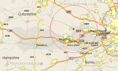
Berkshire Map Showing Location of Remenham
Population: 547
Easting: 477445 Northing: 182243
Latitude: 51.53 Longitude: -0.88
 = Remenham
Easting: 477445 Northing: 182243
Latitude: 51.53 Longitude: -0.88
= Remenham
This Remenham map below is supplied by Google. Use the tools in the top left corner to zoom into street level or zoom out for a road map, you may also need to zoom in to see Remenham on the map. Click and drag the map to move around. If the map fails to load try and refresh your browser or zoom in or out (+ or -).
Update - it seems Google no longer allow people to use their maps for free! This Remenham map sometimes loads and sometimes gives a error. I am working on a solution.
Closest 30 Towns or Cities to Remenham (Population over 500)
Hurley 4.61km Wagrave 5.67km Wargrave 5.67km Sonning 7.49km Twyford 7.76km Bisham 8.28km Woodley 9.26km Waltham St Lawrence 9.39km Waltham St. Lawrence 9.39km Waltham Saint Lawrence 9.39km White Waltham 9.8km Earley 11.65km Cookham 12.81km Maidenhead 12.82km Winnersh 13.02km Binfield 13.1km Bray 13.22km Wokingham 13.42km Reading 13.74km Tilehurst 13.91km Pangbourne 14.92km Arborfield 15km Aberfield 15km Shinfield 15.52km Bracknell 15.92km Basildon 16.56km Warfield 16.62km Barkham 16.68km Theale 16.88km Winkfield 16.88km