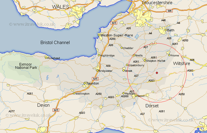
Somerset Map Showing Location of Redlynch
Population: 3475
District: South Somerset
Easting: 369661 Northing: 133558
Latitude: 51.1 Longitude: -2.43
 = Redlynch
District: South Somerset
Easting: 369661 Northing: 133558
Latitude: 51.1 Longitude: -2.43
= Redlynch
This Redlynch map below is supplied by Google. Use the tools in the top left corner to zoom into street level or zoom out for a road map, you may also need to zoom in to see Redlynch on the map. Click and drag the map to move around. If the map fails to load try and refresh your browser or zoom in or out (+ or -).
Update - it seems Google no longer allow people to use their maps for free! This Redlynch map sometimes loads and sometimes gives a error. I am working on a solution.
Closest 30 Towns or Cities to Redlynch (Population over 500)
Wincanton 2.98km Castle Cary 6.11km Ditcheat 7.22km Evercreech 7.25km North Cadbury 9.43km Nunney 11.65km Sparkford 11.91km Shepton Mallet 12.33km Shepun 12.33km Pilton 12.83km Leigh on Mendip 13.03km Leigh upon Mendip 13.03km Leigh 13.03km Leigh-on-Mendip 13.03km Queen Camel 13.99km Coleford 14.54km Mells 15km Milborne Port 15km Henstridge 15.01km Barton Saint David 15.13km Barton St. David 15.13km Barton St David 15.13km Holcombe 15.23km Baltonsborough 15.24km Frome 15.32km West Pennard 16.11km Charlton Mackrell 16.71km Butleigh 17.46km Mudford 18.24km Kilmersdon 18.54km