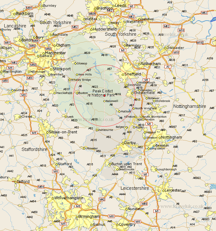
Derbyshire Map Showing Location of Hassop
Population: 81
District: Derbyshire Dales
Easting: 422246 Northing: 370779
Latitude: 53.23 Longitude: -1.67
 = Hassop
District: Derbyshire Dales
Easting: 422246 Northing: 370779
Latitude: 53.23 Longitude: -1.67
= Hassop
This Hassop map below is supplied by Google. Use the tools in the top left corner to zoom into street level or zoom out for a road map, you may also need to zoom in to see Hassop on the map. Click and drag the map to move around. If the map fails to load try and refresh your browser or zoom in or out (+ or -).
Update - it seems Google no longer allow people to use their maps for free! This Hassop map sometimes loads and sometimes gives a error. I am working on a solution.
Closest 30 Towns or Cities to Hassop (Population over 500)
Great Longstone 2.22km Longstone 2.22km Baslow 3.33km Bakewell 3.7km Stoney Middleton 3.88km Stony Middleton 3.88km Eyam 5.56km Grindleford Bridge 5.99km Grindleford 5.99km Tideswell 7.62km Youlgreave 7.73km Middleton 8.12km Darley Dale 8.64km Hathersage 9.34km Bradwell 10.8km Old Brampton 11.09km Brampton 11.09km Winster 11.18km Holmesfield 11.42km Barlow 12.75km Castleton 12.96km Bamford 13.02km Walton 13.44km Bonsall 14.11km Hope 14.11km Matlock 14.23km Ashover 14.28km Tansley 14.95km Dronfield 15.23km Matlock Bath 15.8km