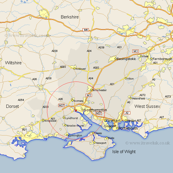
Hampshire Map Showing Location of Redbridge
Easting: 437486 Northing: 113223
Latitude: 50.92 Longitude: -1.47
 = Redbridge
Latitude: 50.92 Longitude: -1.47
= Redbridge
This Redbridge map below is supplied by Google. Use the tools in the top left corner to zoom into street level or zoom out for a road map, you may also need to zoom in to see Redbridge on the map. Click and drag the map to move around. If the map fails to load try and refresh your browser or zoom in or out (+ or -).
Update - it seems Google no longer allow people to use their maps for free! This Redbridge map sometimes loads and sometimes gives a error. I am working on a solution.
Closest 30 Towns or Cities to Redbridge (Population over 500)
Totton 1.17km Eling 2.19km Marchwood 4.39km Southampton 4.69km Chilworth 5.1km Dibden 6.03km Itchen 6.13km Hythe 7.27km Romsey 7.76km Cadnam 8.18km West End 9.35km West Wellow 9.88km Eastleigh 9.89km Lyndhurst 9.89km Minstead 10.06km Bramshaw 10.67km Ashurst 10.83km Bishopstoke 10.87km Netley 10.88km Netley Marsh 10.88km Sherfield English 11.03km Bewley 11.18km Beaulieu 11.18km Hursley 12.06km Otterbourne 12.35km Hamble 12.87km Hample 12.87km Bursledon 12.95km Locks Heath 13.06km Brockenhurst 13.15km