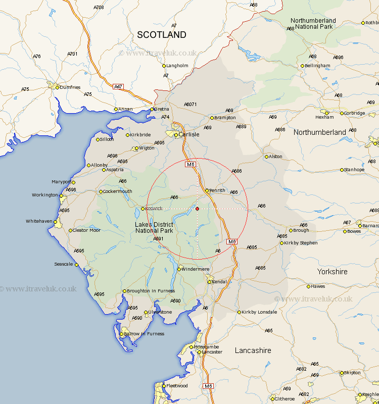
Cumbria Map Showing Location of Pooley Bridge
District: Eden
Easting: 347246 Northing: 523077
Latitude: 54.6 Longitude: -2.82
 = Pooley Bridge
Easting: 347246 Northing: 523077
Latitude: 54.6 Longitude: -2.82
= Pooley Bridge
This Pooley Bridge map below is supplied by Google. Use the tools in the top left corner to zoom into street level or zoom out for a road map, you may also need to zoom in to see Pooley Bridge on the map. Click and drag the map to move around. If the map fails to load try and refresh your browser or zoom in or out (+ or -).
Update - it seems Google no longer allow people to use their maps for free! This Pooley Bridge map sometimes loads and sometimes gives a error. I am working on a solution.
Closest 30 Towns or Cities to Pooley Bridge (Population over 500)
Dacre 2.15km Greystoke 6.42km Skelton 11.58km Langwathby 13.38km Shap 13.39km Culgaith 15.01km Lasonby 16.61km Lazonby 16.61km Kirkby Thore 17.27km Crosby Ravensworth 17.67km Long Marston 19.32km Long Marton 19.32km Keswick 19.32km Koswick 19.32km Hesket Newmarket 19.63km Kirkoswald 20km Caldbeck 21.09km Appleby 21.8km Orton 21.91km Ambleside 22.57km Ainstable 22.87km Tebay 25.34km Staveley 25.94km Windermere 26.73km Dalston 28.06km Hawkshead 28.52km Westward 28.8km Wetheral 29.66km Thursby 29.96km Coniston 30.56km