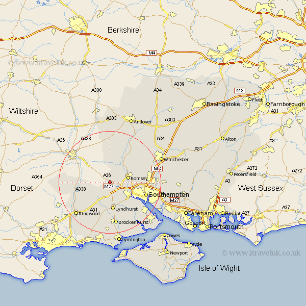
Hampshire Map Showing Location of Plaitford
Population: 352
District: Test Valley
Easting: 428085 Northing: 118723
Latitude: 50.97 Longitude: -1.6
 = Plaitford
District: Test Valley
Easting: 428085 Northing: 118723
Latitude: 50.97 Longitude: -1.6
= Plaitford
This Plaitford map below is supplied by Google. Use the tools in the top left corner to zoom into street level or zoom out for a road map, you may also need to zoom in to see Plaitford on the map. Click and drag the map to move around. If the map fails to load try and refresh your browser or zoom in or out (+ or -).
Update - it seems Google no longer allow people to use their maps for free! This Plaitford map sometimes loads and sometimes gives a error. I am working on a solution.
Closest 30 Towns or Cities to Plaitford (Population over 500)
West Wellow 1.17km Sherfield English 2.18km Bramshaw 3.89km Cadnam 5.68km Romsey 7.24km Minstead 9.27km Hale 9.52km Totton 9.89km Michlemersh 10.19km Michelmersh 10.19km Eling 11.04km Lyndhurst 11.18km Chilworth 12.97km Broughton 13.43km Kings Somborne 13.79km Fordingbridge 14.49km Marchwood 14.91km Southampton 14.94km Hursley 15.06km Ibsley 15.85km Dibden 16.13km Nether Wallop 16.84km Brockenhurst 16.84km Itchen 16.9km Stockbridge 16.92km Eastleigh 17.51km Sandleheath 17.79km Otterbourne 17.89km Hythe 17.89km Damerham 17.9km