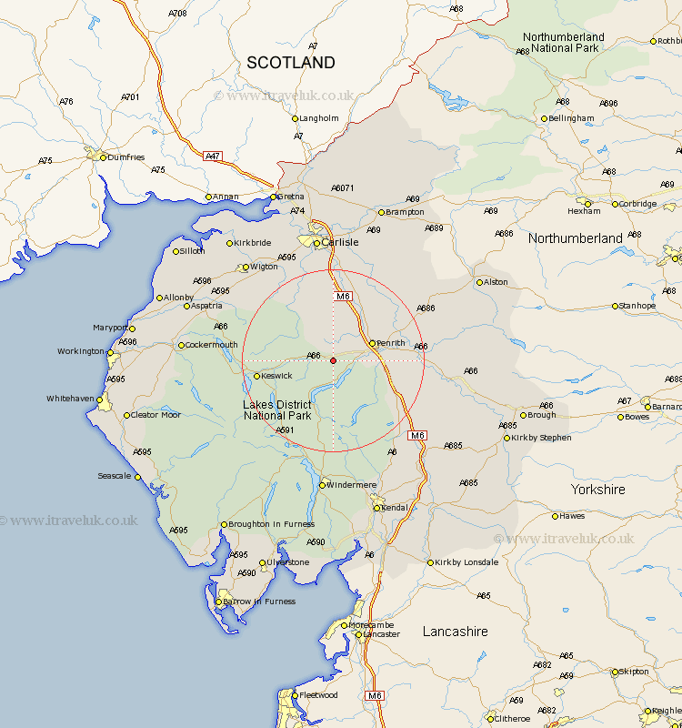
Cumbria Map Showing Location of Penruddock
District: Eden
Easting: 342986 Northing: 526834
Latitude: 54.63 Longitude: -2.88
 = Penruddock
Easting: 342986 Northing: 526834
Latitude: 54.63 Longitude: -2.88
= Penruddock
This Penruddock map below is supplied by Google. Use the tools in the top left corner to zoom into street level or zoom out for a road map, you may also need to zoom in to see Penruddock on the map. Click and drag the map to move around. If the map fails to load try and refresh your browser or zoom in or out (+ or -).
Update - it seems Google no longer allow people to use their maps for free! This Penruddock map sometimes loads and sometimes gives a error. I am working on a solution.
Closest 30 Towns or Cities to Penruddock (Population over 500)
Greystoke 2.14km Dacre 3.71km Skelton 7.49km Hesket Newmarket 14.04km Langwathby 15km Caldbeck 15.44km Koswick 15.47km Keswick 15.47km Lazonby 16.2km Lasonby 16.2km Culgaith 18.33km Kirkoswald 18.94km Shap 19.06km Ainstable 20.89km Kirkby Thore 21.54km Dalston 23.15km Westward 23.15km Crosby Ravensworth 23.28km Long Marton 23.9km Long Marston 23.9km Ambleside 24.68km Thursby 24.68km Wetheral 26.3km Appleby 26.81km Orton 27.57km Carlisle 27.98km Wigton 28.07km Windermere 29.72km Stanwix 29.83km Staveley 29.96km