Sussex Map Showing Location of Patcham
Easting: 530214 Northing: 107301
Latitude: 50.85 Longitude: -0.15
 = Patcham
Latitude: 50.85 Longitude: -0.15
= Patcham
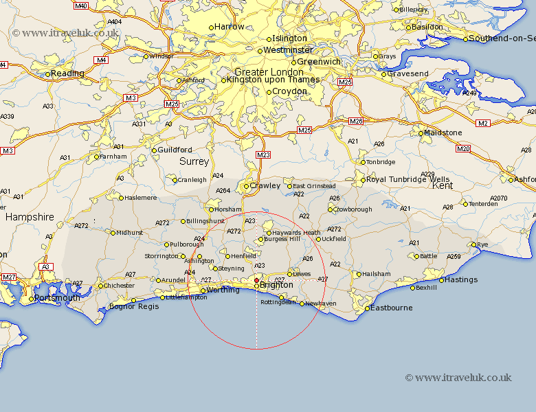
This Patcham map below is supplied by Google. Use the tools in the top left corner to zoom into street level or zoom out for a road map, you may also need to zoom in to see Patcham on the map. Click and drag the map to move around. If the map fails to load try and refresh your browser or zoom in or out (+ or -).
Update - it seems Google no longer allow people to use their maps for free! This Patcham map sometimes loads and sometimes gives a error. I am working on a solution.
Closest 30 Towns or Cities to Patcham (Population over 500)
Brighton 1.86km Hove 2.99km Portslade 5.04km Southwick 5.04km Shoreham-by-Sea 6.14km Shoreham 6.14km Shoreham by Sea 6.14km New Shoreham 6.14km Keymer 7.5km Hassocks 7.51km Hurstpierpoint 7.51km Plumpton 7.94km Ditchelling 8.2km Ditchling 8.2km Saltdean 8.6km Rottingdean 8.96km Kingston near Lewes 9.36km Kingston 9.36km Lewes 9.54km Albourne 9.56km Henfield 11.04km Wivelsfield 12.06km Upper Beeding 12.27km Bramber 12.27km Upper Bleeding 12.27km Steyning 12.27km Burgess Hill 13.03km North Lancing 13.4km Lancing 13.4km Barcombe Mills Station 14.01km