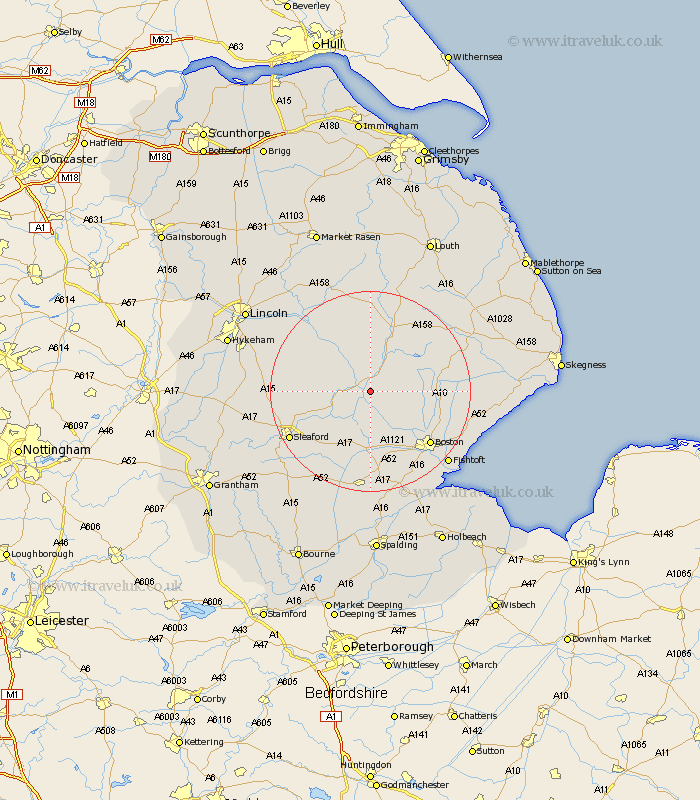
Lincolnshire Map Showing Location of Hawthorn Hill
District: East Lindsey
Easting: 521664 Northing: 355588
Latitude: 53.08 Longitude: -0.18
 = Hawthorn Hill
Easting: 521664 Northing: 355588
Latitude: 53.08 Longitude: -0.18
= Hawthorn Hill
This Hawthorn Hill map below is supplied by Google. Use the tools in the top left corner to zoom into street level or zoom out for a road map, you may also need to zoom in to see Hawthorn Hill on the map. Click and drag the map to move around. If the map fails to load try and refresh your browser or zoom in or out (+ or -).
Update - it seems Google no longer allow people to use their maps for free! This Hawthorn Hill map sometimes loads and sometimes gives a error. I am working on a solution.
Closest 30 Towns or Cities to Hawthorn Hill (Population over 500)
Tattershall 2.16km Coningsby 3.87km Billinghay 6.68km Woodhall Spa 7.74km Carrington 8.91km Martin 10.68km Frithville 11.47km Digby 12.24km Brothertoft 12.44km Stickney 13.36km Mareham-on-the-Hill 13.57km Mareham 13.57km Mareham on the Hill 13.57km Banovallum 13.71km Horncastle 13.71km Buskington 14.48km Ruskington 14.48km Sibsey 14.48km Scopwick 14.59km Heckington 14.59km Metheringham 15.49km Bloxholm 15.58km Bloxholme 15.58km Boston 15.75km Dunston 16.25km Great Hale 16.27km Hale 16.27km Swineshead 16.83km Brauncewell 17.11km Leasingham 17.27km