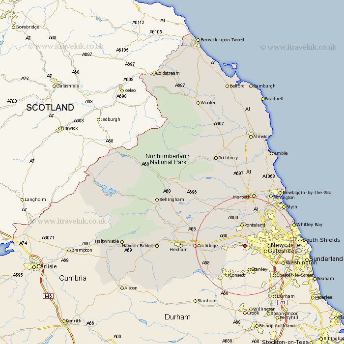
Northumberland Map Showing Location of Newburn
Population: 42111
Area Size (ha): 926
District: Newcastle upon Tyne
Easting: 417070 Northing: 563604
Latitude: 54.97 Longitude: -1.73
 = Newburn
Area Size (ha): 926
District: Newcastle upon Tyne
Easting: 417070 Northing: 563604
Latitude: 54.97 Longitude: -1.73
= Newburn
This Newburn map below is supplied by Google. Use the tools in the top left corner to zoom into street level or zoom out for a road map, you may also need to zoom in to see Newburn on the map. Click and drag the map to move around. If the map fails to load try and refresh your browser or zoom in or out (+ or -).
Update - it seems Google no longer allow people to use their maps for free! This Newburn map sometimes loads and sometimes gives a error. I am working on a solution.
Closest 30 Towns or Cities to Newburn (Population over 500)
Woolsington 6.41km Wylam 7.45km Prudhoe 7.68km Gosforth 8.31km Ovingham 8.51km Newcastle 8.51km Newcastle-on-Tyne 8.51km Newcastle on Tyne 8.51km Newcastle upon Tyne 8.51km Ponteland 9.32km Dinnington 9.8km Longbenton 11.26km Long Benton 11.26km Stamfordham 11.28km Wallsend on Tyne 11.41km Wallsend-on-Tyne 11.41km Wallsend 11.41km Stocksfield 12.28km Killingworth 12.95km Shiremoor 13.28km Cramlington 14.67km Seghill 14.92km Dudley 15.26km Ridingmill 15.36km Riding 15.36km Stannington 15.42km North Shields 17.15km Seaton Delaval 17.73km Corbridge 18.09km Tynemouth 19.08km