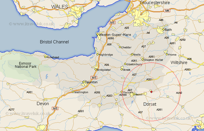
Somerset Map Showing Location of Milborne Port
Population: 2590
Area Size (ha): 78
District: South Somerset
Easting: 367233 Northing: 118750
Latitude: 50.97 Longitude: -2.47
 = Milborne Port
Area Size (ha): 78
District: South Somerset
Easting: 367233 Northing: 118750
Latitude: 50.97 Longitude: -2.47
= Milborne Port
This Milborne Port map below is supplied by Google. Use the tools in the top left corner to zoom into street level or zoom out for a road map, you may also need to zoom in to see Milborne Port on the map. Click and drag the map to move around. If the map fails to load try and refresh your browser or zoom in or out (+ or -).
Update - it seems Google no longer allow people to use their maps for free! This Milborne Port map sometimes loads and sometimes gives a error. I am working on a solution.
Closest 30 Towns or Cities to Milborne Port (Population over 500)
Henstridge 4.67km North Cadbury 8.19km Queen Camel 9.88km Sparkford 10.19km Mudford 10.66km Yeovil 11.82km Castle Cary 13.43km Wincanton 13.78km Yeovilton 14.48km Redlynch 15km Bruton 15km Ilchester 15.61km West Coker 16.17km Ditcheat 17.32km Tintinhull 17.51km Montacute 17.61km Charlton Mackrell 17.87km Barton St. David 19.6km Barton Saint David 19.6km Barton St David 19.6km Martock 19.84km Evercreech 20.52km West Chinnock 20.62km Baltonsborough 21.04km Haselbury Plucknett 21.19km Butleigh 21.2km Long Sutton 21.72km Somerton 21.88km Compton 22.92km Kingsbury 23.41km