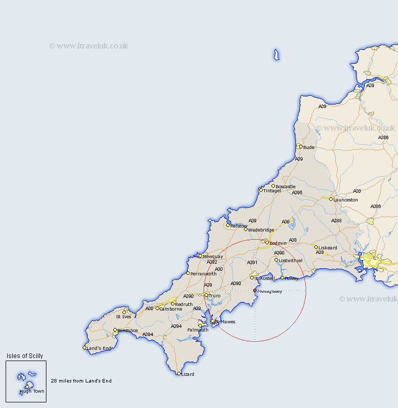
Cornwall Map Showing Location of Mevagissey
Population: 2273
Area Size (ha): 69
District: Restormel
Easting: 201734 Northing: 46367
Latitude: 50.28 Longitude: -4.78
 = Mevagissey
Area Size (ha): 69
District: Restormel
Easting: 201734 Northing: 46367
Latitude: 50.28 Longitude: -4.78
= Mevagissey
This Mevagissey map below is supplied by Google. Use the tools in the top left corner to zoom into street level or zoom out for a road map, you may also need to zoom in to see Mevagissey on the map. Click and drag the map to move around. If the map fails to load try and refresh your browser or zoom in or out (+ or -).
Update - it seems Google no longer allow people to use their maps for free! This Mevagissey map sometimes loads and sometimes gives a error. I am working on a solution.
Closest 30 Towns or Cities to Mevagissey (Population over 500)
Saint Ewe 4km St Ewe 4km St. Ewe 4km St. Austell 5.68km Saint Austell 5.68km St Austell 5.68km Creed 8.29km Par 8.8km Tregoney 9.65km Saint Stephen 9.98km St Stephen 9.98km St. Stephen 9.98km Tywardreath 10.27km Bugle 11.18km Stenalees 11.65km Probus 11.84km Fowey 12.02km Veryan 12.03km Ladock 12.41km Lanteglos 13.08km St. Dennis 13.19km St. Denis 13.19km St Dennis 13.19km Saint Denis 13.19km St Denis 13.19km Saint Dennis 13.19km Roche 13.45km St Blazey 13.81km St. Blazey 13.81km Saint Blazey 13.81km