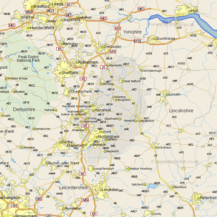
Nottinghamshire Map Showing Location of Marton
Easting: 452840 Northing: 515657
Latitude: 54.53 Longitude: -1.18
 = Marton
Latitude: 54.53 Longitude: -1.18
= Marton
This Marton map below is supplied by Google. Use the tools in the top left corner to zoom into street level or zoom out for a road map, you may also need to zoom in to see Marton on the map. Click and drag the map to move around. If the map fails to load try and refresh your browser or zoom in or out (+ or -).
Update - it seems Google no longer allow people to use their maps for free! This Marton map sometimes loads and sometimes gives a error. I am working on a solution.
Closest 30 Towns or Cities to Marton (Population over 500)
Nunthorpe 2.14km Stainton 4.68km Lowdham 60.48km Misson 121.29km Misterton 122.41km Harworth 124.39km Bircotes 124.47km Styrrup 126.19km Walkeringham 126.25km Mattersey 126.81km Everton 126.94km Gringley on the Hill 127.37km Gringley 127.37km Gringley-on-the-Hill 127.37km Beckingham 128.08km Blyth 129.94km Ramskill 130.18km Ranskill 130.18km Sutton 132.23km Clarborough 132.88km Hayton 132.88km Shireoaks 135.28km East Retford 136.27km Worksop 137.18km North Leverton 137.39km Grove 138.39km Rampton 139.41km Bampton 139.41km Elkesley 141.55km Elksley 141.55km