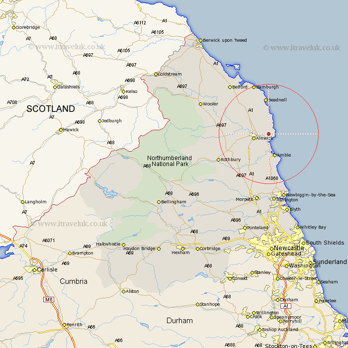
Northumberland Map Showing Location of Long Houghton
District: Alnwick
Easting: 424263 Northing: 613711
Latitude: 55.42 Longitude: -1.62
 = Long Houghton
Easting: 424263 Northing: 613711
Latitude: 55.42 Longitude: -1.62
= Long Houghton
This Long Houghton map below is supplied by Google. Use the tools in the top left corner to zoom into street level or zoom out for a road map, you may also need to zoom in to see Long Houghton on the map. Click and drag the map to move around. If the map fails to load try and refresh your browser or zoom in or out (+ or -).
Update - it seems Google no longer allow people to use their maps for free! This Long Houghton map sometimes loads and sometimes gives a error. I am working on a solution.
Closest 30 Towns or Cities to Long Houghton (Population over 500)
Alnmouth 2.13km Lesbury 3.71km Lisburg 3.71km Alnwick 5.58km Almwick 5.58km Shilbottle 6.97km Embleton 7.41km Warkworth 7.42km Amble 9.51km Beadnell 14.86km Swarland 14.92km East Chevington 14.98km East Thirston 15.42km Thirston 15.42km Felton 15.74km North Sunderland 16.98km Longframlington 18.19km Rothbury 21.08km Ellington 22.46km Longhorsley 22.49km Lynemouth 23.12km Belford 24.53km Hebron 26.29km Newbiggin-by-the-Sea 27.15km Newbiggin by the Sea 27.15km Wooler 27.42km Pegswood 27.82km Morpeth 28.12km Ashington 28.18km Hepscott 29.73km