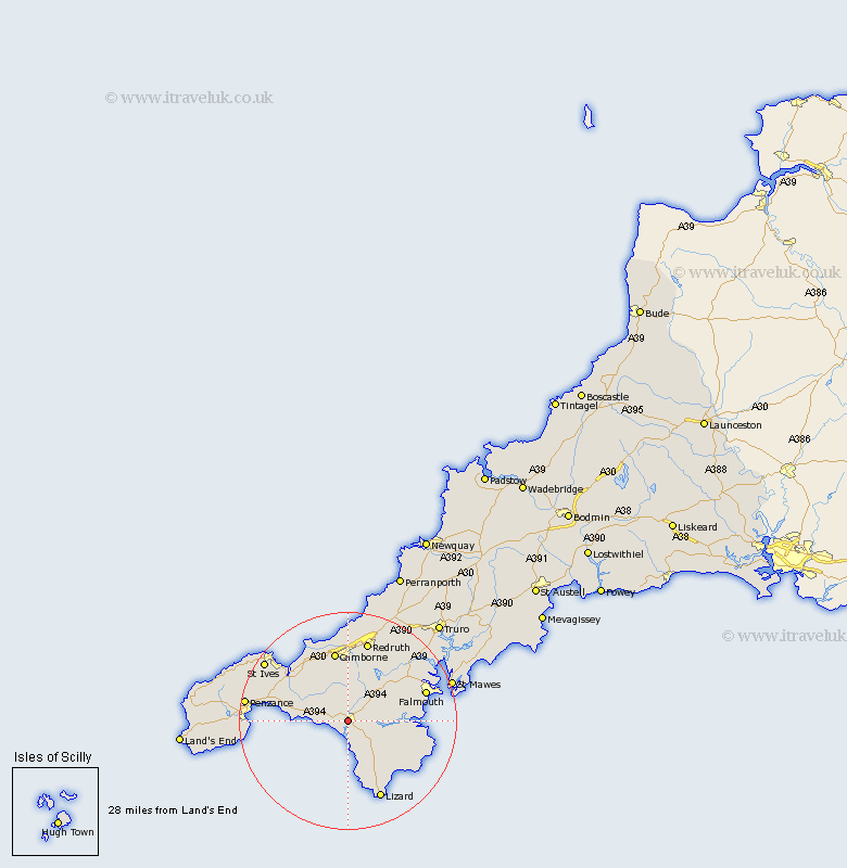
Cornwall Map Showing Location of Helston
Population: 8264
Area Size (ha): 490
District: Kerrier
Easting: 165226 Northing: 27446
Latitude: 50.1 Longitude: -5.28
 = Helston
Area Size (ha): 490
District: Kerrier
Easting: 165226 Northing: 27446
Latitude: 50.1 Longitude: -5.28
= Helston
This Helston map below is supplied by Google. Use the tools in the top left corner to zoom into street level or zoom out for a road map, you may also need to zoom in to see Helston on the map. Click and drag the map to move around. If the map fails to load try and refresh your browser or zoom in or out (+ or -).
Update - it seems Google no longer allow people to use their maps for free! This Helston map sometimes loads and sometimes gives a error. I am working on a solution.
Closest 30 Towns or Cities to Helston (Population over 500)
Porthleven 3.02km Breage 3.57km Wendron 4.4km Gweek 4.76km Crowan 5.69km Germol 7.37km Germoe 7.37km Constantine 8.52km Constatine 8.52km Mullion 9.56km St Hilary 9.69km St. Hilary 9.69km Saint Hilary 9.69km Gwinear 11km Troon 11.61km Hayle 11.69km Heyl 11.69km Stithians 11.69km Perranuthnoe 12.03km Mawnan 13.08km Budock 13.12km Budock Water 13.12km Camborne 13.19km Marazion 13.59km Ludgvan 14.73km Illogan 14.87km Penryn 15.03km Redruth 15.24km Falmouth 15.3km Gwennap 15.41km