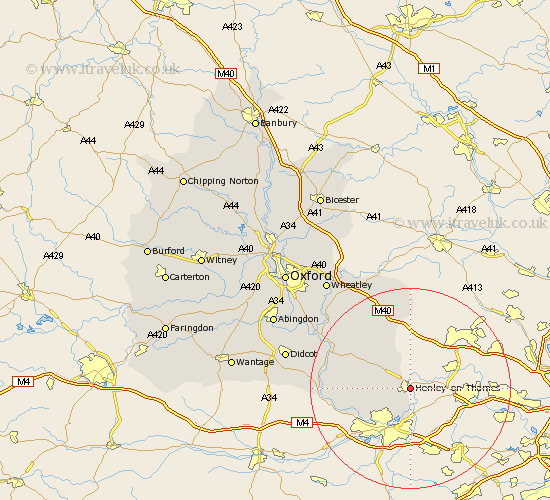
Oxfordshire Map Showing Location of Henley On Thames
Population: 10134
Area Size (ha): 317
District: South Oxfordshire
Easting: 476289 Northing: 182229
Latitude: 51.53 Longitude: -0.9
 = Henley On Thames
Area Size (ha): 317
District: South Oxfordshire
Easting: 476289 Northing: 182229
Latitude: 51.53 Longitude: -0.9
= Henley On Thames
This Henley On Thames map below is supplied by Google. Use the tools in the top left corner to zoom into street level or zoom out for a road map, you may also need to zoom in to see Henley On Thames on the map. Click and drag the map to move around. If the map fails to load try and refresh your browser or zoom in or out (+ or -).
Update - it seems Google no longer allow people to use their maps for free! This Henley On Thames map sometimes loads and sometimes gives a error. I am working on a solution.
Closest 30 Towns or Cities to Henley On Thames (Population over 500)
Harpsden 1.85km Bix 3.92km Rotherfield Peppard 4.61km Shiplake 5.56km Nettlebed 6.85km Nuffield 9.94km Watlington 13.09km Ewelme 13.7km Whitchurch 13.85km Aston Rowant 15.23km Lewknor 15.53km Goring 16.25km Chinnor 16.68km Moulsford 17.29km Cholsey 17.68km Wallingford 17.75km Chalgrove 18.13km Warborough 18.6km Benson 18.65km Tetsworth 19.78km Drayton Saint Leonard 20.69km Drayton St Leonard 20.69km Drayton St. Leonard 20.69km Drayton 20.69km Dorchester 21.52km Great Haseley 21.81km Stadhampton 21.9km Blewbury 23.13km East Hagbourne 23.7km Hagbourne 23.7km