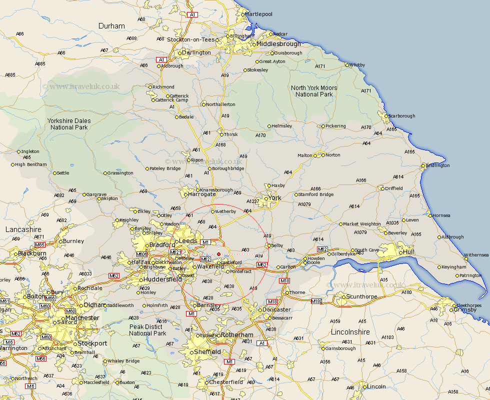
Yorkshire Map Showing Location of Ledston
Population: 400
District: Leeds
Easting: 442857 Northing: 428401
Latitude: 53.75 Longitude: -1.35
 = Ledston
District: Leeds
Easting: 442857 Northing: 428401
Latitude: 53.75 Longitude: -1.35
= Ledston
This Ledston map below is supplied by Google. Use the tools in the top left corner to zoom into street level or zoom out for a road map, you may also need to zoom in to see Ledston on the map. Click and drag the map to move around. If the map fails to load try and refresh your browser or zoom in or out (+ or -).
Update - it seems Google no longer allow people to use their maps for free! This Ledston map sometimes loads and sometimes gives a error. I am working on a solution.
Closest 30 Towns or Cities to Ledston (Population over 500)
Kippax 2.16km Castleford 3.7km Garforth 4.3km Swillington 4.76km Featherstone 5.67km Micklefield 5.67km Brotherton 6.61km South Milford 6.83km Normanton 7.08km Aberford 7.5km Monk Fryston 7.67km Pontefract 8.11km Sherburn in Elmet 8.61km Sherburn 8.61km Scholes 8.61km Rothwell 8.77km Knottingly 9.48km Knottingley 9.48km Lofthouse 10.04km Stanley 10.38km Wakefield 10.38km Ackworth 11.17km High Ackworth 11.17km Ackworth Moor Top 11.17km Darrington 11.36km Church Fenton 11.48km Thorner 11.95km Crofton 11.95km Hambleton 12.19km Fitzwilliam 13.16km