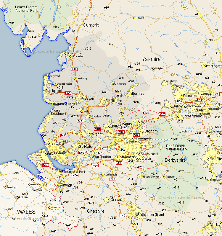
Lancashire Map Showing Location of Ashton Under Lyne
Population: 43370
Area Size (ha): 870
District: Tameside
Easting: 393367 Northing: 400399
Latitude: 53.5 Longitude: -2.1
 = Ashton Under Lyne
Area Size (ha): 870
District: Tameside
Easting: 393367 Northing: 400399
Latitude: 53.5 Longitude: -2.1
= Ashton Under Lyne
This Ashton Under Lyne map below is supplied by Google. Use the tools in the top left corner to zoom into street level or zoom out for a road map, you may also need to zoom in to see Ashton Under Lyne on the map. Click and drag the map to move around. If the map fails to load try and refresh your browser or zoom in or out (+ or -).
Update - it seems Google no longer allow people to use their maps for free! This Ashton Under Lyne map sometimes loads and sometimes gives a error. I am working on a solution.
Closest 30 Towns or Cities to Ashton Under Lyne (Population over 500)
Failsworth 2.88km Droylesden 3.79km Droylsden 3.79km Oldham 5.67km Denton 5.67km Mossley 5.81km Chadderton 5.98km Shaw 7.5km Royton 7.5km Manchester 7.72km Hollingworth 8.54km Middleton 8.64km Delph 9.24km Uppermill 9.45km Milnrow 11.12km Salford 11.18km Heywood 12.05km Prestwich 12.67km Rochdale 13.39km Whitefield 14.34km Littleborough 14.82km Stretford 15.38km Pendlebury 15.54km Eccles 15.55km Radcliffe 16.4km Swinton 16.54km Wardle 16.82km Bury 17.27km Urmston 17.45km Whitworth 17.56km