Cornwall Map Showing Location of Lanteglos
District: North Cornwall
Easting: 208949 Northing: 81353
Latitude: 50.6 Longitude: -4.7
 = Lanteglos
Easting: 208949 Northing: 81353
Latitude: 50.6 Longitude: -4.7
= Lanteglos
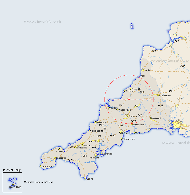
This Lanteglos map below is supplied by Google. Use the tools in the top left corner to zoom into street level or zoom out for a road map, you may also need to zoom in to see Lanteglos on the map. Click and drag the map to move around. If the map fails to load try and refresh your browser or zoom in or out (+ or -).
Update - it seems Google no longer allow people to use their maps for free! This Lanteglos map sometimes loads and sometimes gives a error. I am working on a solution.
Closest 30 Towns or Cities to Lanteglos (Population over 500)
Camelford 2.2km Tintagel 8.21km Forrabury 9.34km Blisland 9.34km Altarnun 11.76km Wadebridge 13.21km Cardingham 13.45km Cardinham 13.45km Bodmin 14.87km Lanivet 17.33km Padstow 18.07km Lewannick 18.82km St Issey 18.92km St. Issey 18.92km Saint Issey 18.92km North Hill 19.64km North Petherwin 20.96km St Merryn 20.99km St. Merryn 20.99km Saint Merryn 20.99km Dobwalls 21.12km Pounstock 21.34km Poundstock 21.34km St Blazey 22.27km Saint Blazey 22.27km St. Blazey 22.27km Lostwithiel 22.36km South Petherwin 22.42km Launceston 23.81km Roche 24.16km