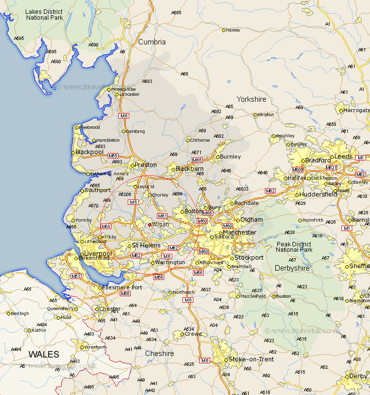
Lancashire Map Showing Location of Ince
Population: 10398
Area Size (ha): 311
District: Wigan
Easting: 359130 Northing: 404275
Latitude: 53.53 Longitude: -2.62
 = Ince
Area Size (ha): 311
District: Wigan
Easting: 359130 Northing: 404275
Latitude: 53.53 Longitude: -2.62
= Ince
This Ince map below is supplied by Google. Use the tools in the top left corner to zoom into street level or zoom out for a road map, you may also need to zoom in to see Ince on the map. Click and drag the map to move around. If the map fails to load try and refresh your browser or zoom in or out (+ or -).
Update - it seems Google no longer allow people to use their maps for free! This Ince map sometimes loads and sometimes gives a error. I am working on a solution.
Closest 30 Towns or Cities to Ince (Population over 500)
Ince 0km Wigan 0km Ince-in-Makerfield 0km Hindley 2.2km Abram 2.87km Shevington 5.76km Ashton in Makerfield 5.98km Ashton 5.98km Blackrod 5.98km Standish 6.47km Billinge 6.64km Westhoughton 6.86km Golborne 7.49km Adlington 7.5km Appley Bridge 7.58km Haigh 7.74km Atherton 7.93km Haydock 8.11km Horwich 8.63km Leigh 8.64km Coppull 9.53km Tyldesley 10.09km Parbold 11.36km Saint Helens 12.06km St. Helens 12.06km St Helens 12.06km Skelmersdale 12.12km Rainford 12.26km Eccleston 12.93km Chorley 12.98km