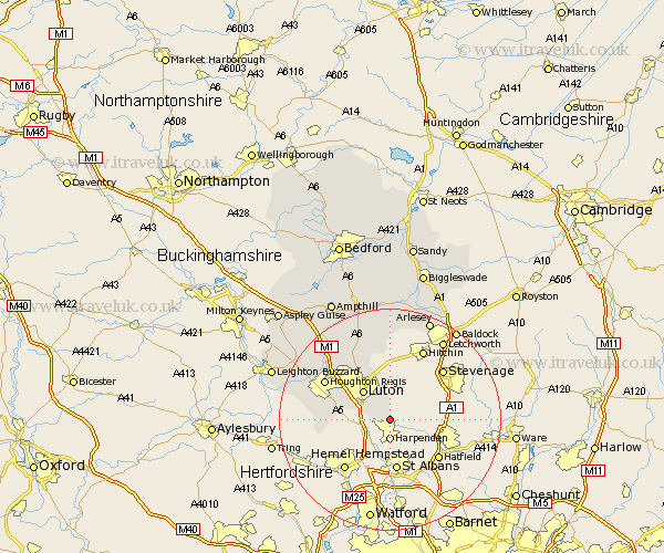
Bedfordshire Map Showing Location of Hyde
Population: 402
District: South Bedfordshire
Easting: 513679 Northing: 216301
Latitude: 51.83 Longitude: -0.35
 = Hyde
District: South Bedfordshire
Easting: 513679 Northing: 216301
Latitude: 51.83 Longitude: -0.35
= Hyde
This Hyde map below is supplied by Google. Use the tools in the top left corner to zoom into street level or zoom out for a road map, you may also need to zoom in to see Hyde on the map. Click and drag the map to move around. If the map fails to load try and refresh your browser or zoom in or out (+ or -).
Update - it seems Google no longer allow people to use their maps for free! This Hyde map sometimes loads and sometimes gives a error. I am working on a solution.
Closest 30 Towns or Cities to Hyde (Population over 500)
Caddington 7.12km Luton 7.2km Kensworth 10.47km Studham 11.6km Sundon 12.25km Streatley 12.51km Dunstable 12.73km Houghton Regis 13.64km Barton in the Clay 13.76km Barton 13.76km Totternhoe 14.23km Eaton Bray 16.45km Shillington 16.68km Toddington 16.79km Westoning 17.43km Stanbridge 17.66km Pulloxhill 18.03km Hockliffe 18.51km Meppershall 18.57km Gravenhurst 18.57km Stondon 18.68km Silsoe 19.09km Arlesley 19.76km Arlesey 19.76km Flitton 19.76km Billington 20.24km Flitwick 20.67km Stotfold 20.67km Clophill 20.9km Henlow 20.9km