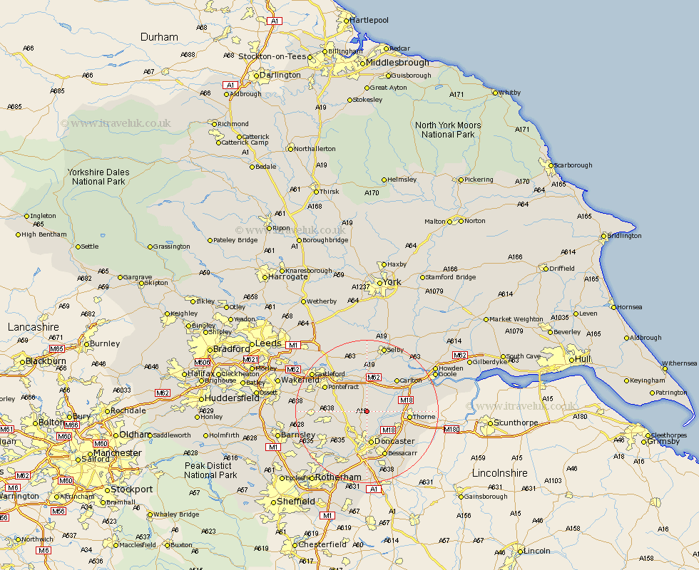
Yorkshire Map Showing Location of Askern
Population: 5797
Area Size (ha): 137
District: Doncaster
Easting: 457324 Northing: 413722
Latitude: 53.62 Longitude: -1.13
 = Askern
Area Size (ha): 137
District: Doncaster
Easting: 457324 Northing: 413722
Latitude: 53.62 Longitude: -1.13
= Askern
This Askern map below is supplied by Google. Use the tools in the top left corner to zoom into street level or zoom out for a road map, you may also need to zoom in to see Askern on the map. Click and drag the map to move around. If the map fails to load try and refresh your browser or zoom in or out (+ or -).
Update - it seems Google no longer allow people to use their maps for free! This Askern map sometimes loads and sometimes gives a error. I am working on a solution.
Closest 30 Towns or Cities to Askern (Population over 500)
Sutton 2.88km Campsall 3.3km Norton 3.78km Adwick le Street 6.46km Carcroft 6.46km Stainforth 6.85km Barnby Don 7.09km Barnby Dun 7.09km Pollington 7.09km Whitley 7.49km North Elmsall 7.7km Fishlake 7.92km Kirk Sandall 8.11km Bentley 9.33km Doncaster 9.34km Darrington 9.49km Hensall 9.52km Upton 9.89km Snaith 9.92km South Elmsall 10.57km Armthorpe 10.78km Moorends 10.78km South Kirkby 10.95km Badsworth 10.99km Thorne 11.15km Hatfield 11.35km Knottingley 11.37km Knottingly 11.37km Fleckney 11.38km Brodsworth 11.51km