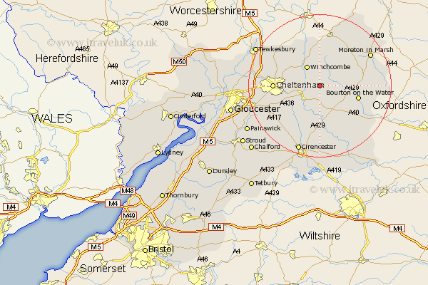
Gloucestershire Map Showing Location of Hawling
Population: 149
District: Tewkesbury
Easting: 406879 Northing: 222437
Latitude: 51.9 Longitude: -1.9
 = Hawling
District: Tewkesbury
Easting: 406879 Northing: 222437
Latitude: 51.9 Longitude: -1.9
= Hawling
This Hawling map below is supplied by Google. Use the tools in the top left corner to zoom into street level or zoom out for a road map, you may also need to zoom in to see Hawling on the map. Click and drag the map to move around. If the map fails to load try and refresh your browser or zoom in or out (+ or -).
Update - it seems Google no longer allow people to use their maps for free! This Hawling map sometimes loads and sometimes gives a error. I am working on a solution.
Closest 30 Towns or Cities to Hawling (Population over 500)
Andoversford 5.05km Winchcomb 6.53km Winchcombe 6.53km Withington 8.17km Northleach 9.37km Southam 10.93km Bourton-on-the-Water 10.94km Bourton on the Water 10.94km Chedworth 11.18km Alderton 11.52km Stow on the Wold 12.02km Stow-on-the-Wold 12.02km Charlton Kings 12.02km Cheltenham 12.58km Bishops Cleeve 12.71km Leckhampton 13.12km Dumbleton 13.76km Swindon 14.21km Shurdington 15.33km North Cerney 15.51km Moreton-in-Marsh 16.55km Moreton in the Marsh 16.55km Moreton in Marsh 16.55km Blockley 16.55km Chipping Campden 16.84km Bibury 17.64km Staverton 18.39km Churchdown 18.39km Bledington 18.39km Ashchurch 18.55km