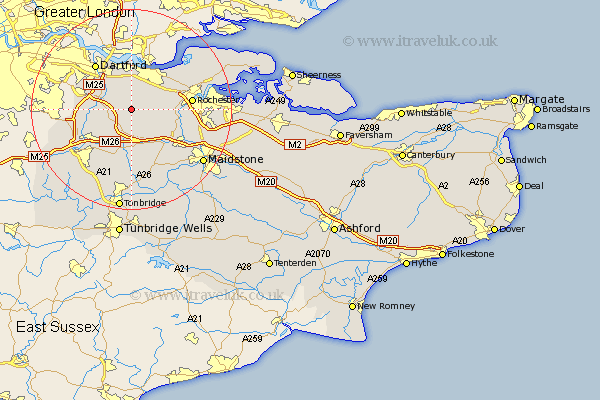
Kent Map Showing Location of Hartley
Population: 5395
District: Sevenoaks
Easting: 561249 Northing: 165673
Latitude: 51.37 Longitude: 0.32
 = Hartley
District: Sevenoaks
Easting: 561249 Northing: 165673
Latitude: 51.37 Longitude: 0.32
= Hartley
This Hartley map below is supplied by Google. Use the tools in the top left corner to zoom into street level or zoom out for a road map, you may also need to zoom in to see Hartley on the map. Click and drag the map to move around. If the map fails to load try and refresh your browser or zoom in or out (+ or -).
Update - it seems Google no longer allow people to use their maps for free! This Hartley map sometimes loads and sometimes gives a error. I am working on a solution.
Closest 30 Towns or Cities to Hartley (Population over 500)
Longfield 1.85km Ash 2.19km Meopham 3.47km Southfleet 3.7km Ridley 3.71km West Kingsdown 5.93km Cobham 6.07km Farningham 6.94km Eynsford 7.19km Swanscombe 7.41km Wrotham 7.42km Northfleet 7.49km Stonewood 7.76km Darenth 8.02km Gravesend 8.18km Ryarsh 8.74km Shorne 8.9km Borough Green 9.35km Kemsing 9.41km Cuxton 9.44km Wilmington 9.82km Snodland 9.83km Offham 9.9km Hextable 10.3km Swanley 10.57km Shoreham 10.8km West Malling 10.93km Addington 10.93km Wouldham 11.06km Dartford 11.57km