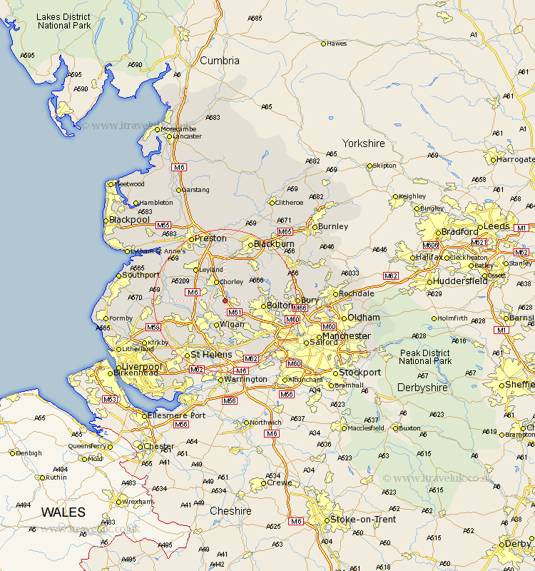
Lancashire Map Showing Location of Haigh
Population: 594
District: Wigan
Easting: 361401 Northing: 411677
Latitude: 53.6 Longitude: -2.58
 = Haigh
District: Wigan
Easting: 361401 Northing: 411677
Latitude: 53.6 Longitude: -2.58
= Haigh
This Haigh map below is supplied by Google. Use the tools in the top left corner to zoom into street level or zoom out for a road map, you may also need to zoom in to see Haigh on the map. Click and drag the map to move around. If the map fails to load try and refresh your browser or zoom in or out (+ or -).
Update - it seems Google no longer allow people to use their maps for free! This Haigh map sometimes loads and sometimes gives a error. I am working on a solution.
Closest 30 Towns or Cities to Haigh (Population over 500)
Adlington 1.1km Blackrod 1.86km Horwich 2.2km Coppull 4.77km Standish 5.81km Chorley 5.98km Westhoughton 7.09km Hindley 7.42km Shevington 7.57km Heapey 7.74km Ince-in-Makerfield 7.74km Wigan 7.74km Ince 7.74km Euxton 7.82km Abram 9.26km Brinscall 9.33km Eccleston 9.54km Appley Bridge 9.55km Bolton 10.07km Atherton 10.78km Withnell 11.33km Penrith 11.35km Leyland 12.04km Tyldesley 12.05km Bromley Cross 12.1km Bradshaw 12.1km Mawdesley 12.24km Parbold 12.24km Turton 12.65km Hoghton 12.98km