Herefordshire Map Showing Location of Grosmount
Easting: 340398 Northing: 224644
Latitude: 51.92 Longitude: -2.87
 = Grosmount
Latitude: 51.92 Longitude: -2.87
= Grosmount
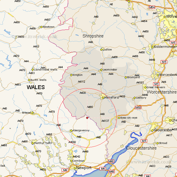
This Grosmount map below is supplied by Google. Use the tools in the top left corner to zoom into street level or zoom out for a road map, you may also need to zoom in to see Grosmount on the map. Click and drag the map to move around. If the map fails to load try and refresh your browser or zoom in or out (+ or -).
Update - it seems Google no longer allow people to use their maps for free! This Grosmount map sometimes loads and sometimes gives a error. I am working on a solution.
Closest 30 Towns or Cities to Grosmount (Population over 500)
Ewyas Harold 3.87km Broad Oak 8.82km Much Dewchurch 10.9km Kingstone 11.35km Much Birch 11.69km Allensmore 12.5km Madley 13.02km Peterchurch 14.17km Bullingham 16.54km Whitchurch 16.62km Hereford 18.03km Goodrich 18.03km Walford 18.67km Fownhope 20.49km Ross 20.58km Ross on Wye 20.58km Ross-on-wye 20.58km Credenhill 20.89km Burghill 21.5km Mordiford 21.8km Lugwardine 22.32km Moreton-on-Lugg 22.33km Moreton on Lugg 22.33km Moreton 22.33km Weston 22.86km Weston under Penyard 22.86km Weston-under-Penyard 22.86km Sutton 23.94km Upton Bishop 24.28km Lea 25.22km