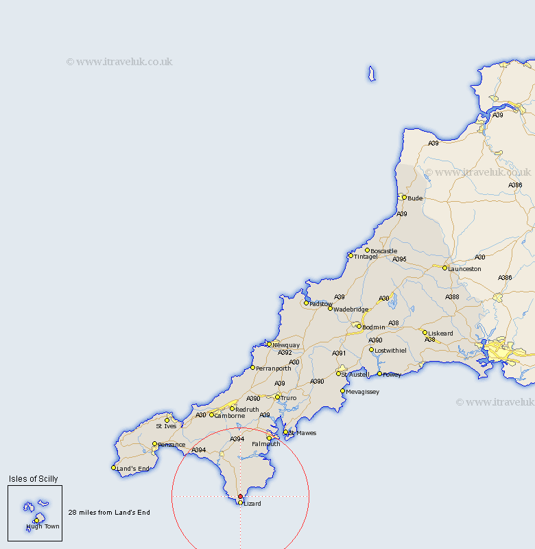
Cornwall Map Showing Location of Grade
District: Kerrier
Easting: 170628 Northing: 14216
Latitude: 49.98 Longitude: -5.2
 = Grade
Easting: 170628 Northing: 14216
Latitude: 49.98 Longitude: -5.2
= Grade
This Grade map below is supplied by Google. Use the tools in the top left corner to zoom into street level or zoom out for a road map, you may also need to zoom in to see Grade on the map. Click and drag the map to move around. If the map fails to load try and refresh your browser or zoom in or out (+ or -).
Update - it seems Google no longer allow people to use their maps for free! This Grade map sometimes loads and sometimes gives a error. I am working on a solution.
Closest 30 Towns or Cities to Grade (Population over 500)
Landewednack 1.85km Mullion 5.15km Gweek 13.03km Porthleven 13.9km Helston 14.28km Helstone 14.28km Mawnan 14.81km Constatine 15.02km Constantine 15.02km Breage 16.09km Wendron 17.06km Budock Water 19.47km Budock 19.47km Germol 19.78km Germoe 19.78km Crowan 19.86km Falmouth 20.32km Saint Hilary 21.43km St. Hilary 21.43km St Hilary 21.43km Penryn 21.61km Stithians 22.27km Mylor Bridge 23.03km Mylor 23.03km Perranuthnoe 23.21km Gwinear 25.22km Marazion 25.31km Gerrans 25.59km Troon 25.64km Heyl 25.8km