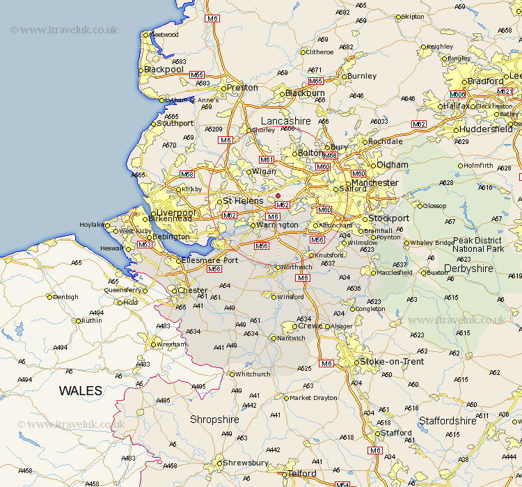
Cheshire Map Showing Location of Glazebury
Easting: 366811 Northing: 396806
Latitude: 53.47 Longitude: -2.5
 = Glazebury
Latitude: 53.47 Longitude: -2.5
= Glazebury
This Glazebury map below is supplied by Google. Use the tools in the top left corner to zoom into street level or zoom out for a road map, you may also need to zoom in to see Glazebury on the map. Click and drag the map to move around. If the map fails to load try and refresh your browser or zoom in or out (+ or -).
Update - it seems Google no longer allow people to use their maps for free! This Glazebury map sometimes loads and sometimes gives a error. I am working on a solution.
Closest 30 Towns or Cities to Glazebury (Population over 500)
Culcheth 2.16km Glazebrook 4.32km Croft 4.98km Risley 5.67km Winwick 7.59km Partington 7.83km Stockton Heath 8.84km Thelwall 9.34km Warrington 11.4km Burtonwood 11.65km Lymm 11.97km Sankey 12.07km Great Sankey 12.07km High Legh 13.39km Appleton 13.39km Altrincham 13.59km Bowdon 14.2km Sale 14.37km Stretton 15.48km Mere 15.83km Preston on the Hill 19.42km Preston Brook 19.42km Preston-on-the-Hill 19.42km Cheadle 20.18km Widnes 20.19km Knutsford 20.54km Mobberley 20.64km Halton 21.31km Northwick 22.24km Marston 22.24km