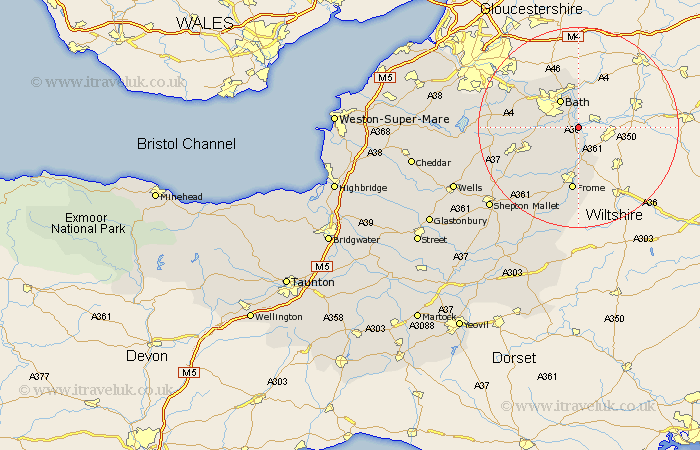
Somerset Map Showing Location of Freshford
Population: 530
Easting: 379102 Northing: 159454
Latitude: 51.33 Longitude: -2.3
 = Freshford
Easting: 379102 Northing: 159454
Latitude: 51.33 Longitude: -2.3
= Freshford
This Freshford map below is supplied by Google. Use the tools in the top left corner to zoom into street level or zoom out for a road map, you may also need to zoom in to see Freshford on the map. Click and drag the map to move around. If the map fails to load try and refresh your browser or zoom in or out (+ or -).
Update - it seems Google no longer allow people to use their maps for free! This Freshford map sometimes loads and sometimes gives a error. I am working on a solution.
Closest 30 Towns or Cities to Freshford (Population over 500)
Norton Saint Philip 4.37km Norton St Philip 4.37km Norton St. Philip 4.37km Road 5.68km Rode 5.68km Bathampton 5.68km Wellow 6.08km Bath 6.56km Bathford 7.42km Beckington 7.5km Batheaston 7.51km Camerton 10.58km Kilmersdon 11.86km Kilmersden 11.86km Saltford 12.78km Timsbury 12.87km Frome 13.02km Mells 13.12km Farmborough 13.9km Farmboro 13.9km Paulton 14.38km Keynsham 15.74km Stratton on the Fosse 15.75km Stratton 15.75km Stratton-on-the-Fosse 15.75km Chilcompton 15.75km Nunney 15.92km Coleford 15.93km Compton Dando 16.04km Temple Cloud 16.07km