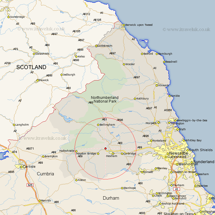
Northumberland Map Showing Location of Fourstones
District: Tynedale
Easting: 389339 Northing: 567290
Latitude: 55 Longitude: -2.17
 = Fourstones
Easting: 389339 Northing: 567290
Latitude: 55 Longitude: -2.17
= Fourstones
This Fourstones map below is supplied by Google. Use the tools in the top left corner to zoom into street level or zoom out for a road map, you may also need to zoom in to see Fourstones on the map. Click and drag the map to move around. If the map fails to load try and refresh your browser or zoom in or out (+ or -).
Update - it seems Google no longer allow people to use their maps for free! This Fourstones map sometimes loads and sometimes gives a error. I am working on a solution.
Closest 30 Towns or Cities to Fourstones (Population over 500)
Newbrough 1.06km Warden 2.82km Humshaugh 4.27km Acomb 4.64km Challerton 5.64km Chollerton 5.64km Haydon Bridge 5.64km Hexham 5.64km Sandhoe 7.67km Wark 8.07km Corbridge 10.26km Slaley 14km Riding 14.76km Ridingmill 14.76km Haltwhistle 17.11km Bellingham 17.21km Stocksfield 17.6km Stamfordham 19.48km Ovingham 19.5km Wylam 20.54km Prudhoe 20.96km Otterburn 24.1km Ponteland 27.13km Newburn 27.9km Woolsington 30.88km Dinnington 31.3km Stannington 33.73km Gosforth 35.08km Morpeth 35.92km Longhorsley 36.33km