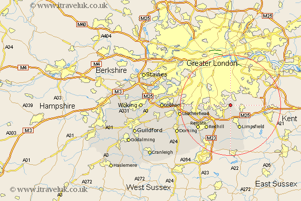
Surrey Map Showing Location of Farleigh
Population: 1394
District: Tandridge
Easting: 537039 Northing: 159402
Latitude: 51.32 Longitude: -0.03
 = Farleigh
District: Tandridge
Easting: 537039 Northing: 159402
Latitude: 51.32 Longitude: -0.03
= Farleigh
This Farleigh map below is supplied by Google. Use the tools in the top left corner to zoom into street level or zoom out for a road map, you may also need to zoom in to see Farleigh on the map. Click and drag the map to move around. If the map fails to load try and refresh your browser or zoom in or out (+ or -).
Update - it seems Google no longer allow people to use their maps for free! This Farleigh map sometimes loads and sometimes gives a error. I am working on a solution.
Closest 30 Towns or Cities to Farleigh (Population over 500)
Warlingham 2.19km Whyteleafe 3.48km Woldingham 3.71km Tatsfield 5.94km Caterham 6.56km Banstead 9.27km Tandridge 9.27km Oxted 9.34km Godstone 9.56km Limpsfield 9.9km Bletchingley 10.37km Nutfield 12.54km Redhill 13.12km Tadworth 14.39km Reigate 15.77km Salfords 15.95km Lingfield 16.72km Horne 16.84km Buckland 17.7km Betchworth 17.7km Leigh 19.03km Horley 19.09km Leatherhead 20.05km Burstow 20.92km Mickleham 21.06km Oxshott 22.01km Felbridge 22.24km Claygate 22.31km Charlwood 22.51km Esher 23.45km