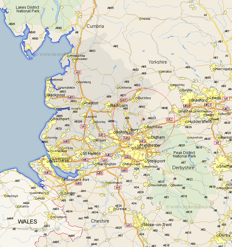
Lancashire Map Showing Location of Facit
District: Rossendale
Easting: 388988 Northing: 418951
Latitude: 53.67 Longitude: -2.17
 = Facit
Easting: 388988 Northing: 418951
Latitude: 53.67 Longitude: -2.17
= Facit
This Facit map below is supplied by Google. Use the tools in the top left corner to zoom into street level or zoom out for a road map, you may also need to zoom in to see Facit on the map. Click and drag the map to move around. If the map fails to load try and refresh your browser or zoom in or out (+ or -).
Update - it seems Google no longer allow people to use their maps for free! This Facit map sometimes loads and sometimes gives a error. I am working on a solution.
Closest 30 Towns or Cities to Facit (Population over 500)
Whitworth 2.16km Wardle 2.88km Bacup 3.86km Rochdale 5.67km Littleborough 5.75km Rawtenstall 8.53km Milnrow 8.62km Edenfield 8.78km Heywood 9.84km Ramsbottom 10.56km Bury 11.5km Haslingden 11.58km Royton 11.6km Shaw 12.4km Middleton 13.16km Tottington 13.26km Oldham 13.39km Uppermill 14.82km Delph 14.88km Burnley 15.46km Whitefield 15.68km Turton 15.82km Hapton 16.29km Padiham 16.29km Accrington 16.41km Prestwich 16.71km Failsworth 16.82km Altham 16.98km Church 17km Radcliffe 17.01km