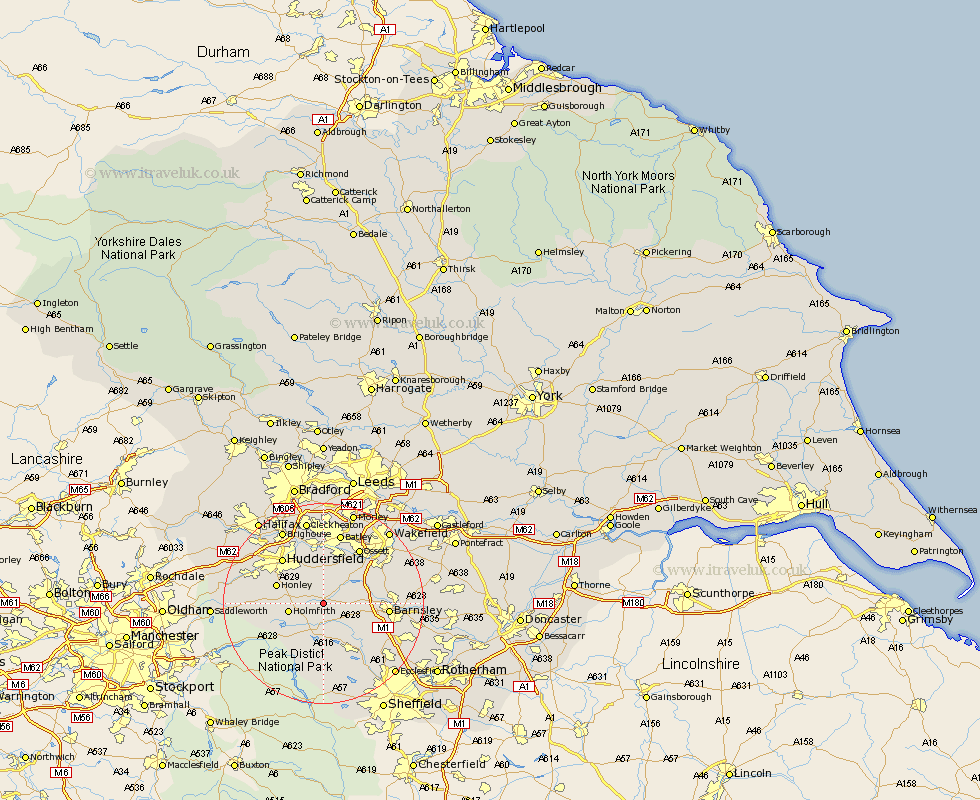
Yorkshire Map Showing Location of Denby Dale
Population: 2269
Area Size (ha): 78
District: Kirklees
Easting: 422073 Northing: 407866
Latitude: 53.57 Longitude: -1.67
 = Denby Dale
Area Size (ha): 78
District: Kirklees
Easting: 422073 Northing: 407866
Latitude: 53.57 Longitude: -1.67
= Denby Dale
This Denby Dale map below is supplied by Google. Use the tools in the top left corner to zoom into street level or zoom out for a road map, you may also need to zoom in to see Denby Dale on the map. Click and drag the map to move around. If the map fails to load try and refresh your browser or zoom in or out (+ or -).
Update - it seems Google no longer allow people to use their maps for free! This Denby Dale map sometimes loads and sometimes gives a error. I am working on a solution.
Closest 30 Towns or Cities to Denby Dale (Population over 500)
Shepley 3.78km Shelley 3.86km Kirkburton 4.31km Cawthorne 5.5km Emley 5.98km Penistone 6.47km Holmfirth 6.86km Silkstone 7.58km Dunford Bridge 7.83km West Bretton 8.63km Bretton 8.63km Darton 9km Honley 9.55km Dodworth 9.56km Middletown 10.25km Middlestown 10.25km Stocksbridge 10.27km Woolley 10.57km Holme 11.16km Mirfield 11.17km Crigglestone 11.5km Huddersfield 12.04km Meltham 12.24km Barnsley 12.25km Notton 12.66km Wortley 12.79km Ossett 12.93km Worsborough 13.33km Worsbrough 13.33km Horbury 13.52km