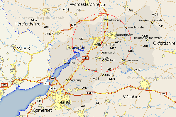
Gloucestershire Map Showing Location of Hucclecote
Population: 1514
District: Tewkesbury
Easting: 387373 Northing: 216887
Latitude: 51.85 Longitude: -2.18
 = Hucclecote
District: Tewkesbury
Easting: 387373 Northing: 216887
Latitude: 51.85 Longitude: -2.18
= Hucclecote
This Hucclecote map below is supplied by Google. Use the tools in the top left corner to zoom into street level or zoom out for a road map, you may also need to zoom in to see Hucclecote on the map. Click and drag the map to move around. If the map fails to load try and refresh your browser or zoom in or out (+ or -).
Update - it seems Google no longer allow people to use their maps for free! This Hucclecote map sometimes loads and sometimes gives a error. I am working on a solution.
Closest 30 Towns or Cities to Hucclecote (Population over 500)
Brockworth 1.14km Churchdown 3.88km Innsworth 3.88km Shurdington 4.94km Gloucester 4.94km Leckhampton 7.11km Painswick 7.42km Staverton 7.5km Quedgeley 7.81km Charlton Kings 8.22km Hardwicke 8.83km Cheltenham 8.83km Randwick 10.33km Swindon 10.89km Ashleworth 10.89km Hartpury 10.92km Stroud 11.18km Corse 12.24km Tibberton 12.72km Southam 13.02km Chalford 13.03km Deerhurst 13.03km Stonehouse 13.07km Bishops Cleeve 13.7km Huntley 15km Woodchester 15.22km Frampton-on-Severn 15.64km Frampton on Severn 15.64km Frampton 15.64km Andoversford 16.13km