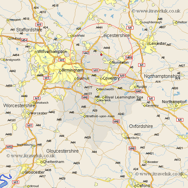
Warwickshire Map Showing Location of Atherstone
Population: 10471
Area Size (ha): 334
District: North Warwickshire
Easting: 430498 Northing: 296676
Latitude: 52.57 Longitude: -1.55
 = Atherstone
Area Size (ha): 334
District: North Warwickshire
Easting: 430498 Northing: 296676
Latitude: 52.57 Longitude: -1.55
= Atherstone
This Atherstone map below is supplied by Google. Use the tools in the top left corner to zoom into street level or zoom out for a road map, you may also need to zoom in to see Atherstone on the map. Click and drag the map to move around. If the map fails to load try and refresh your browser or zoom in or out (+ or -).
Update - it seems Google no longer allow people to use their maps for free! This Atherstone map sometimes loads and sometimes gives a error. I am working on a solution.
Closest 30 Towns or Cities to Atherstone (Population over 500)
Mancetter 2.25km Grendon 3.87km Dordon 4.82km Polesworth 5.01km Orton-on-the-Hill 5.67km Orton on the Hill 5.67km Orton 5.67km Hurley 5.93km Nether Whitacre 7.72km Arley 7.75km Nuneaton 7.92km Shuttington 8.67km Kingsbury 9.2km Shustoke 9.32km Austrey 9.33km Newton Regis 9.53km Newton 9.53km Fillongley 11.35km Bedworth 12.47km Middleton 12.53km Coleshill 12.57km Corley 12.98km Bulkington 14.32km Water Orton 14.45km Keresley 14.88km Wolvey 15.49km Meriden 15.5km Shilton 16.48km Coventry 16.68km Allesley 16.68km