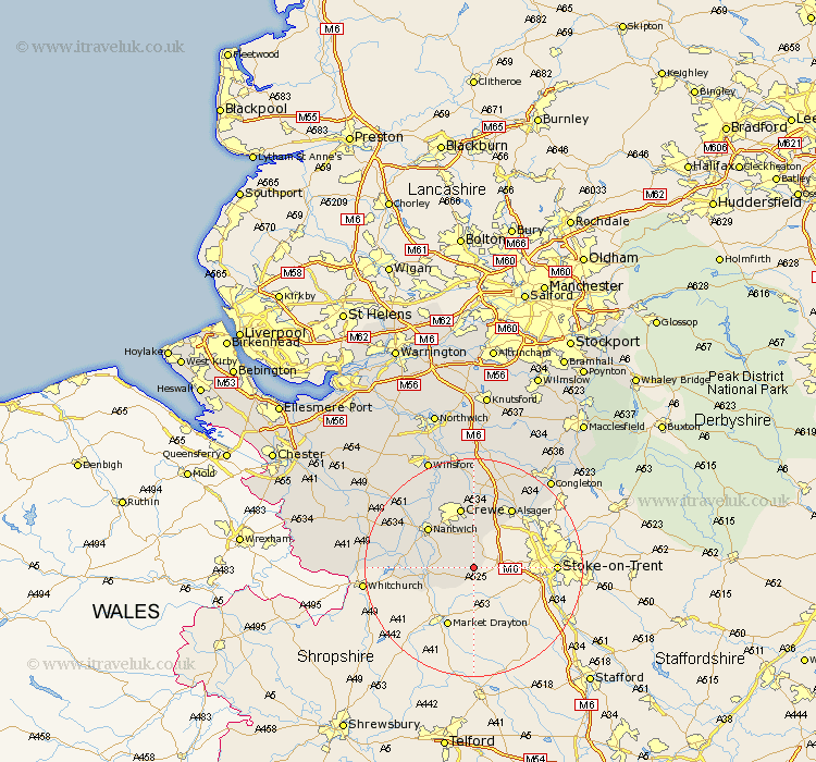
Cheshire Map Showing Location of Checkley
Population: 104
District: Crewe and Nantwich
Easting: 373158 Northing: 344851
Latitude: 53 Longitude: -2.4
 = Checkley
District: Crewe and Nantwich
Easting: 373158 Northing: 344851
Latitude: 53 Longitude: -2.4
= Checkley
This Checkley map below is supplied by Google. Use the tools in the top left corner to zoom into street level or zoom out for a road map, you may also need to zoom in to see Checkley on the map. Click and drag the map to move around. If the map fails to load try and refresh your browser or zoom in or out (+ or -).
Update - it seems Google no longer allow people to use their maps for free! This Checkley map sometimes loads and sometimes gives a error. I am working on a solution.
Closest 30 Towns or Cities to Checkley (Population over 500)
Wybunbury 4.99km Audlem 8.03km Willaston 9.28km Wistaston 10.28km Nantwich 10.76km Crewe 11.34km Alsager 12.97km Wrenbury cum Frith 13.51km Wrenbury 13.51km Sandbach 14.99km Rode Heath 15.14km Brereton 19.06km Brereton cum Smethwick 19.06km Middlewich 20.5km Middlewick 20.5km Bunbury 21.15km Congleton 21.37km Winsford 21.82km Holmes Chapel 22.35km Little Budworth 24.37km Tarporley 24.4km Malpas 24.6km Harthill 25.16km Whitegate 26.09km Goostrey 26.32km Davenham 27.08km Tattenhall 27.73km Hartford 27.81km Peover Superior 28km Peover 28km