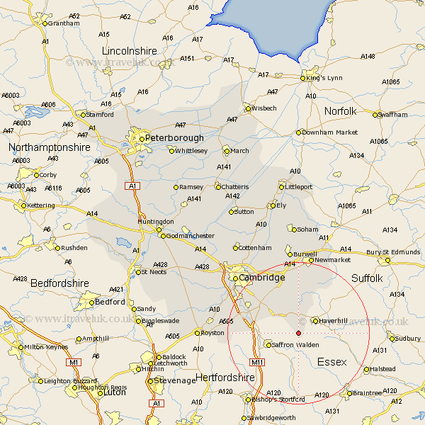
Cambridgeshire Map Showing Location of Castle Camps
Population: 600
District: South Cambridgeshire
Easting: 562265 Northing: 241757
Latitude: 52.05 Longitude: 0.37
 = Castle Camps
District: South Cambridgeshire
Easting: 562265 Northing: 241757
Latitude: 52.05 Longitude: 0.37
= Castle Camps
This Castle Camps map below is supplied by Google. Use the tools in the top left corner to zoom into street level or zoom out for a road map, you may also need to zoom in to see Castle Camps on the map. Click and drag the map to move around. If the map fails to load try and refresh your browser or zoom in or out (+ or -).
Update - it seems Google no longer allow people to use their maps for free! This Castle Camps map sometimes loads and sometimes gives a error. I am working on a solution.
Closest 30 Towns or Cities to Castle Camps (Population over 500)
Linton 8.81km Balsham 9.87km Ickleton 12.67km Duxford 15.27km Sawston 15.55km Whittlesford 16.56km Dullingham 16.68km Great Wilbraham 16.83km Wilbraham 16.83km Stetchworth 16.83km Fulbourn 18.02km Fulbourne 18.02km Shelford 18.44km Thriplow 19.06km Fowlmere 19.72km Foulmere 19.72km Cheveley 19.75km Bottisham 19.75km Ashley 20.17km Teversham 20.85km Swaffham Bulbeck 21.16km Hauxton 21.34km Harston 21.46km Foxton 21.8km Swaffham Prior 22.7km Shepreth 22.87km Haslingfield 23.54km Cambridge 23.86km Barrington 23.95km Burwell 24.2km