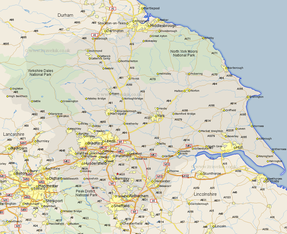
Yorkshire Map Showing Location of Carlton
Population: 169
District: Barnsley
Easting: 436407 Northing: 409801
Latitude: 53.58 Longitude: -1.45
 = Carlton
District: Barnsley
Easting: 436407 Northing: 409801
Latitude: 53.58 Longitude: -1.45
= Carlton
This Carlton map below is supplied by Google. Use the tools in the top left corner to zoom into street level or zoom out for a road map, you may also need to zoom in to see Carlton on the map. Click and drag the map to move around. If the map fails to load try and refresh your browser or zoom in or out (+ or -).
Update - it seems Google no longer allow people to use their maps for free! This Carlton map sometimes loads and sometimes gives a error. I am working on a solution.
Closest 30 Towns or Cities to Carlton (Population over 500)
Royston 1.86km Shafton 2.2km Cudworth 2.87km Notton 2.88km Ryhill 3.87km Barnsley 4.31km Woolley 4.78km Darton 5.5km Little Houghton 6.63km Hemsworth 6.86km Fitzwilliam 7.09km Darfield 7.09km Darsfield 7.09km Houghton 7.57km Great Houghton 7.57km Worsborough 7.73km Worsbrough 7.73km Crofton 7.74km Crigglestone 7.82km Dodworth 7.82km Wombwell 8.11km West Bretton 8.55km Bretton 8.55km Cawthorne 8.99km Hoyland Nether 9.26km Hoyland 9.26km Silkstone 9.5km Birdwell 9.52km Moorthorpe 9.9km South Kirkby 10.57km